|
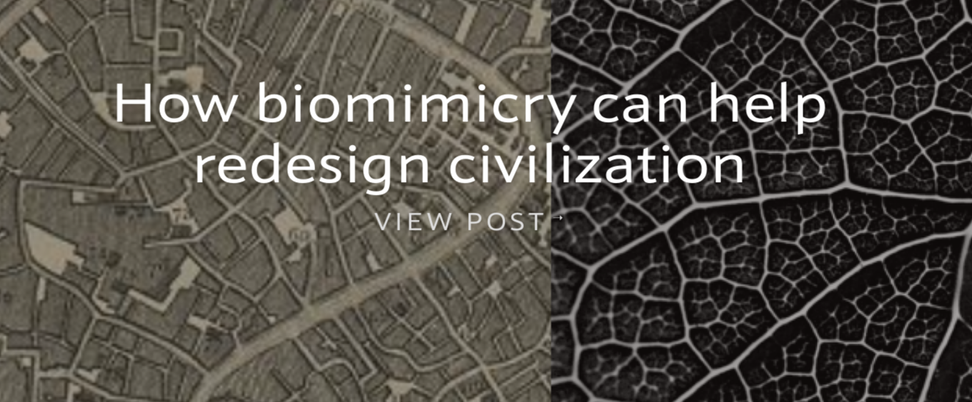
A part of our project work this week focused on the concept of biomimicry, which is a design process whereby humans look to nature to find solutions to current problems. Because nature has been solving problems related to food, water, shelter, and waste management for millions of years, humans can look to these for inspiration. Our exploration included viewing a series of videos that provided examples of biomimicry in action. Examples include familiar objects like velcro, sonar and radar, as well as potential projects related to bacteria or carbon sequestration. One video highlighted the ways in which oak groves can inspire the way we design buildings in order to withstand damage from hurricanes.
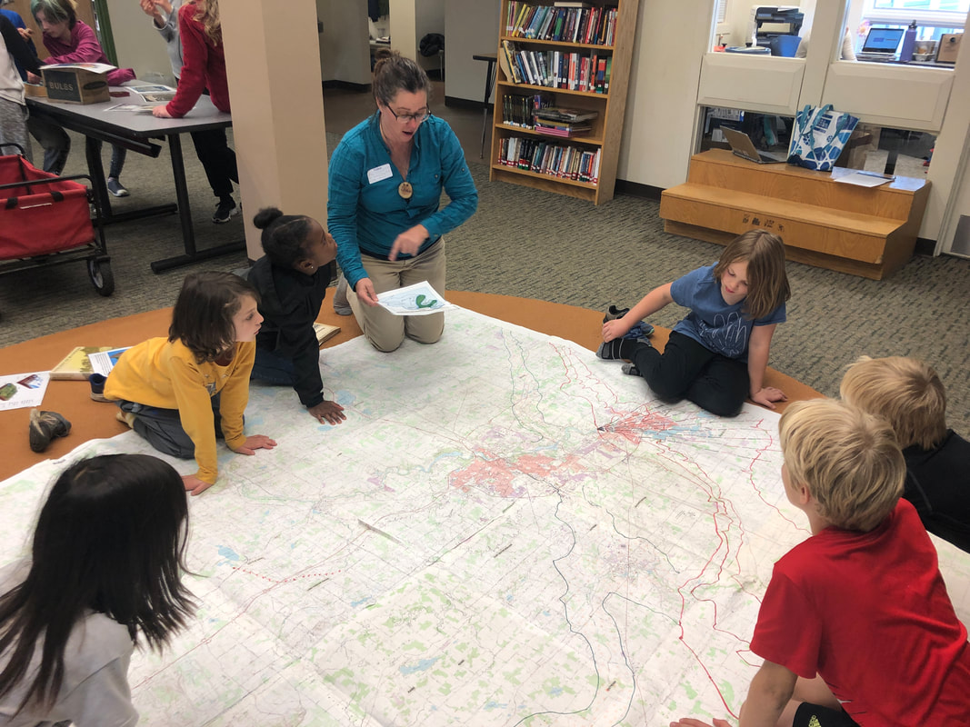
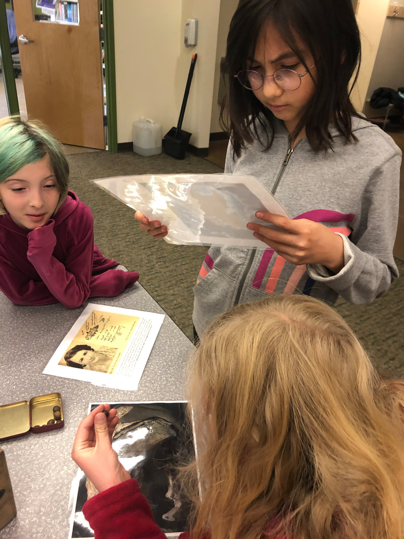
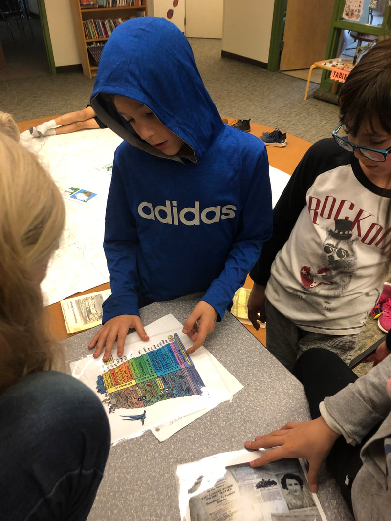
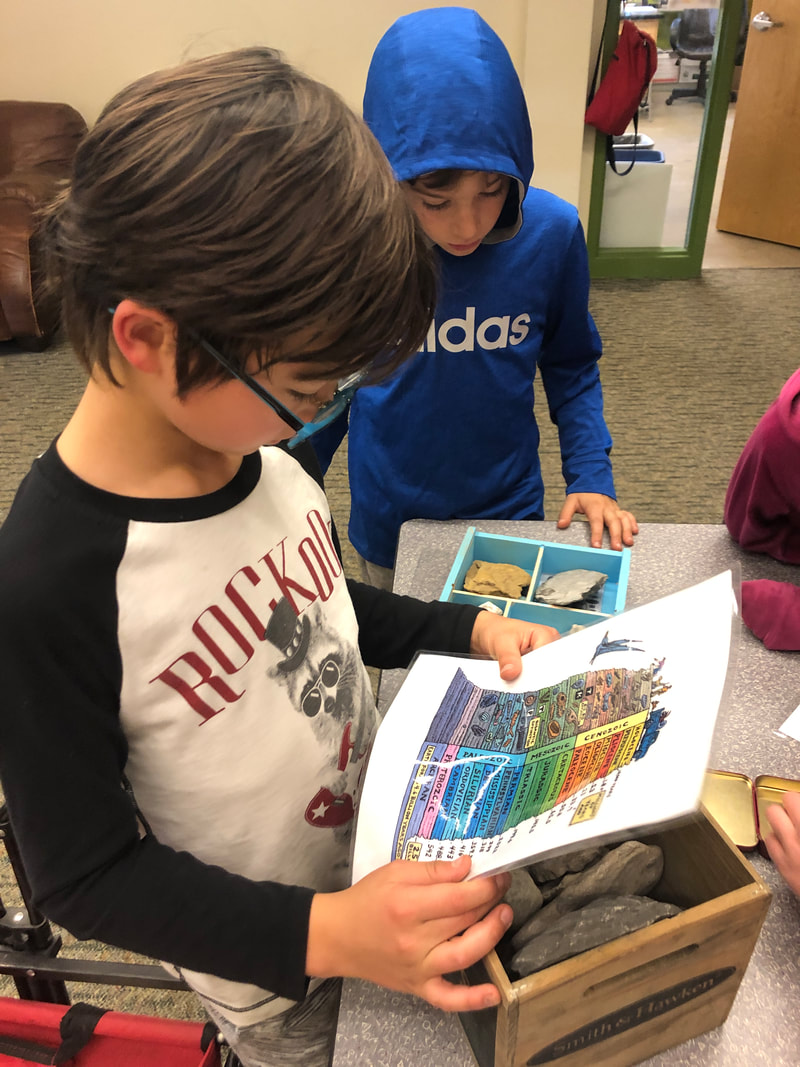
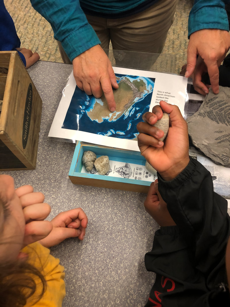
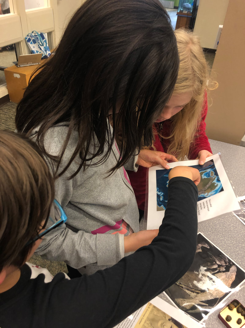
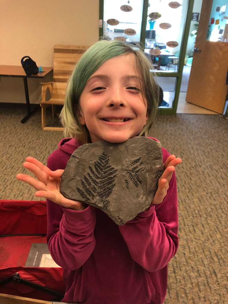
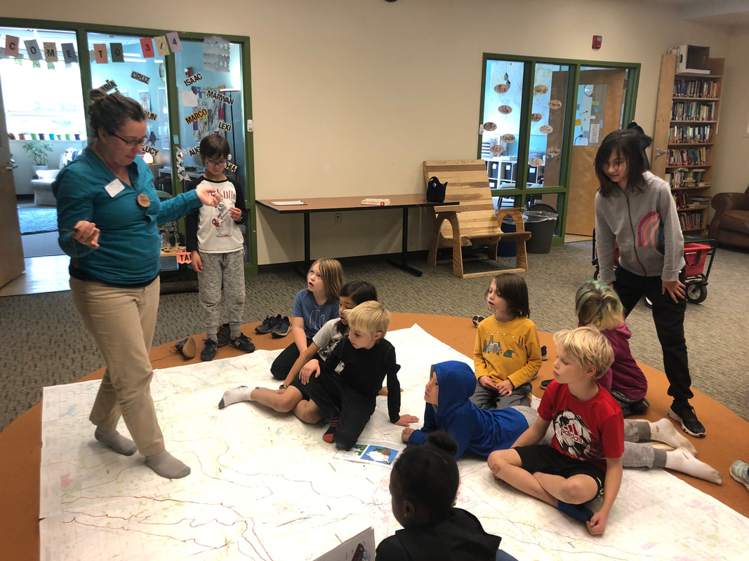
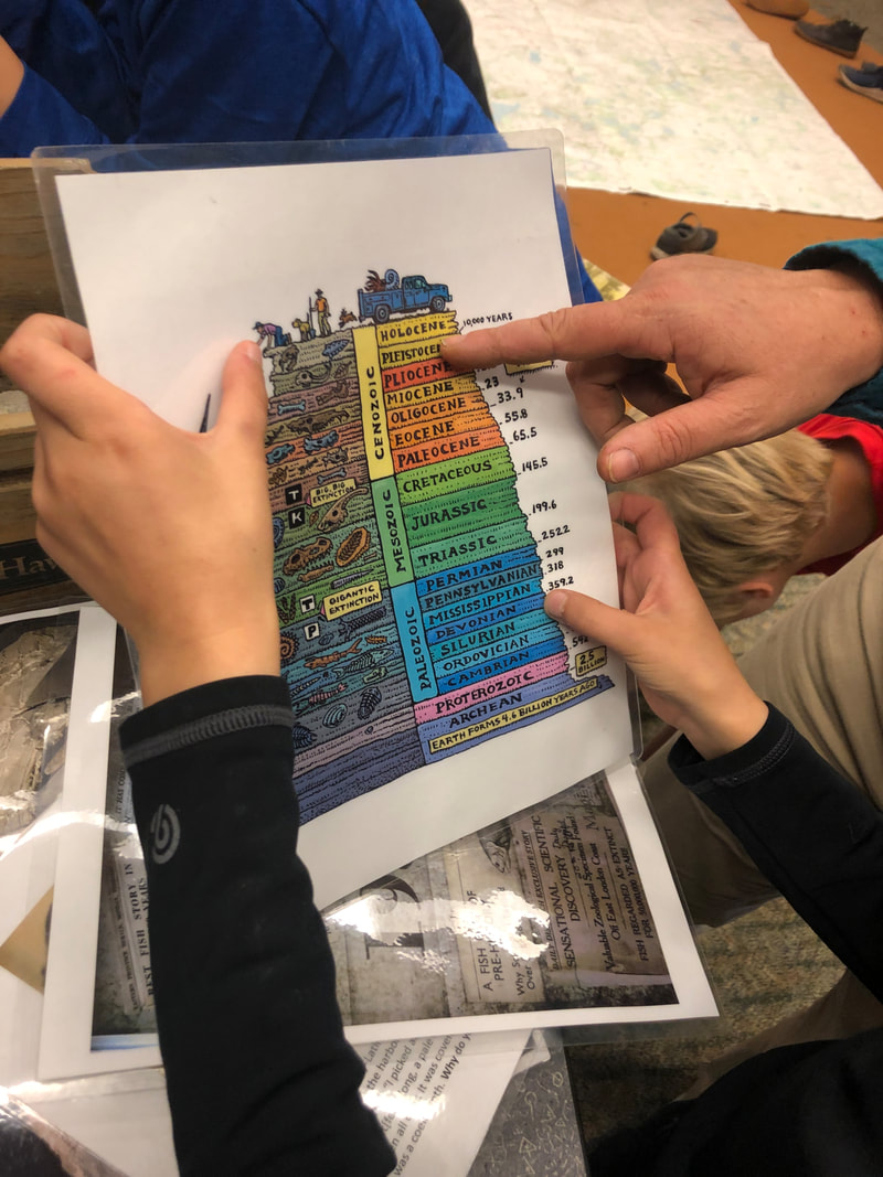
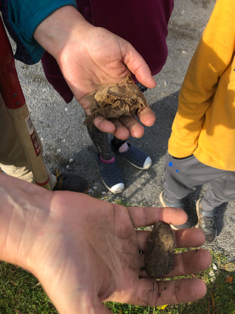
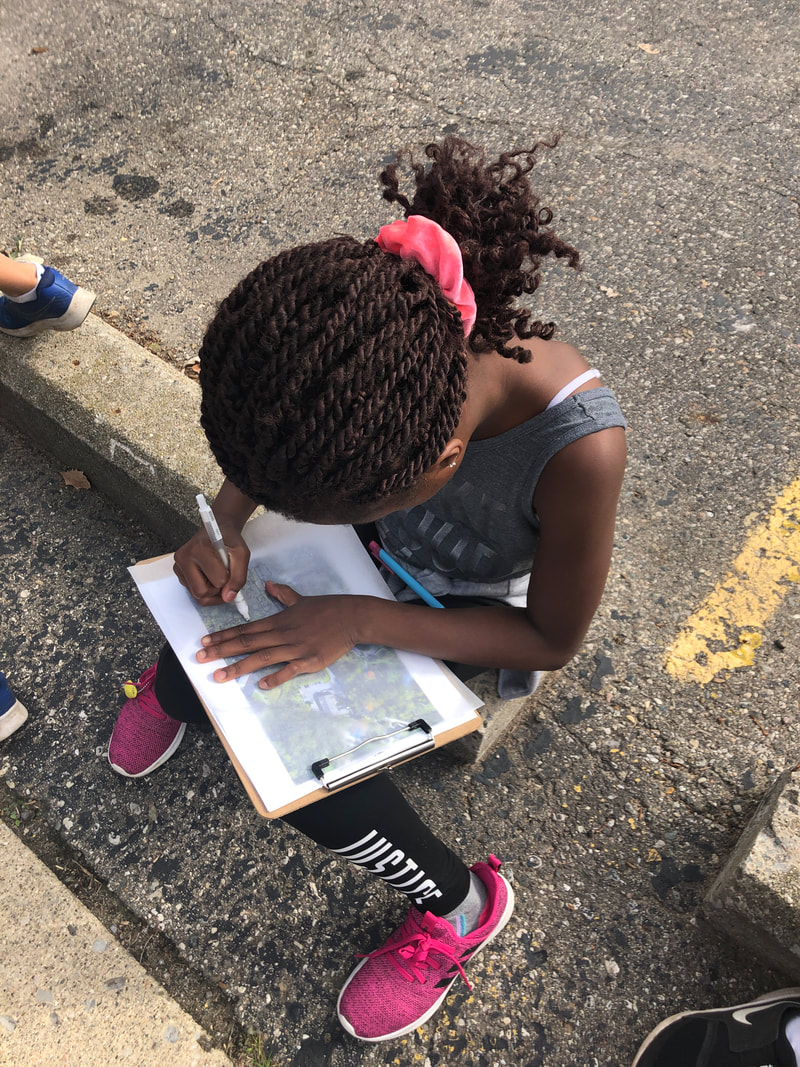
We also welcomed Shawn Severance from County Farm Park to the school for a walk on reading the landscape. Our focus this week was on two periods, the Devonian and the Upper Paleolithic. The students were surprised to learn that during the Devonian period, Michigan was covered with a sea filled with coral and other aquatic life. They examined fossils and learned about the coelacanth, a fish that could be found in Michigan during that period that many people thought were extinct. This living fossil was later found off the coast of South Africa in 1938.
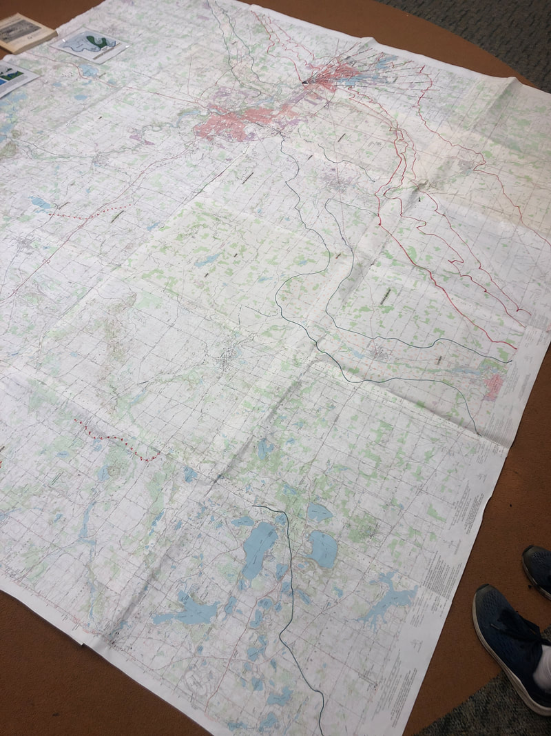
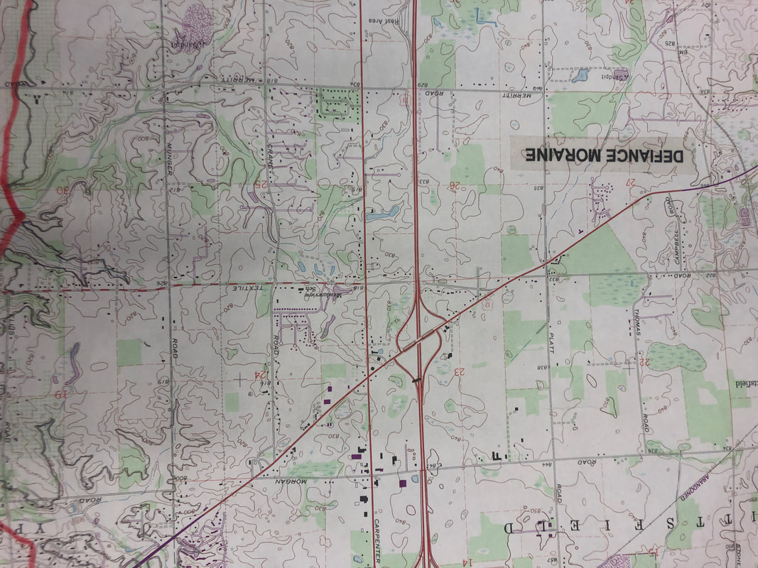
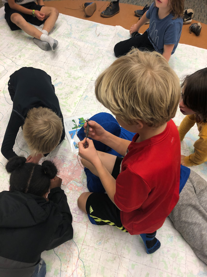
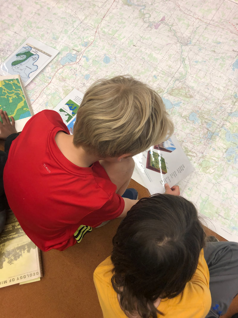
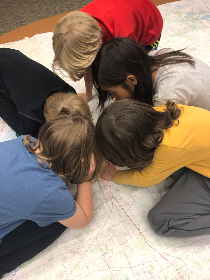
We also viewed a map that showed where glaciers covered parts of Michigan and the paths they took as they receded. The impact of the glaciers can't be overstated as they brought healthy soil to the area, particularly Ann Arbor. Native peoples here followed mastodon trails, hunting them. Surprisingly, we can still see evidence of these trails today as Michigan Ave remains a major transportation route.
0 Comments
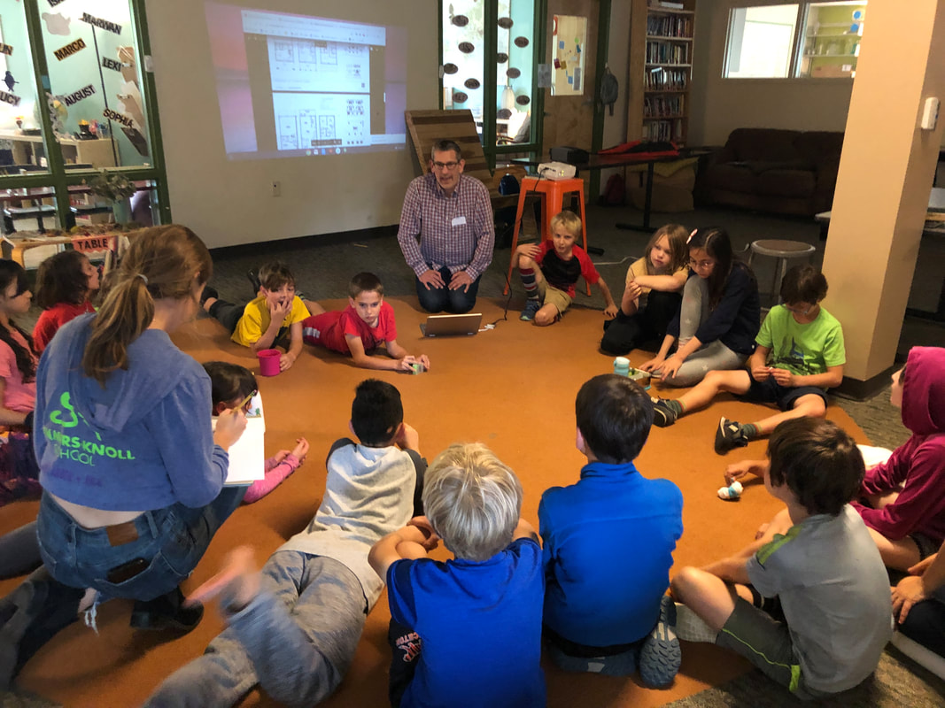
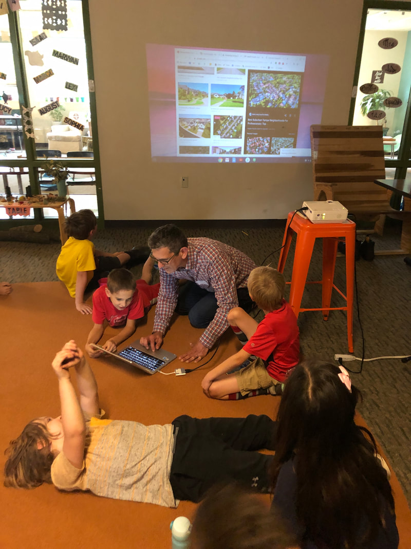
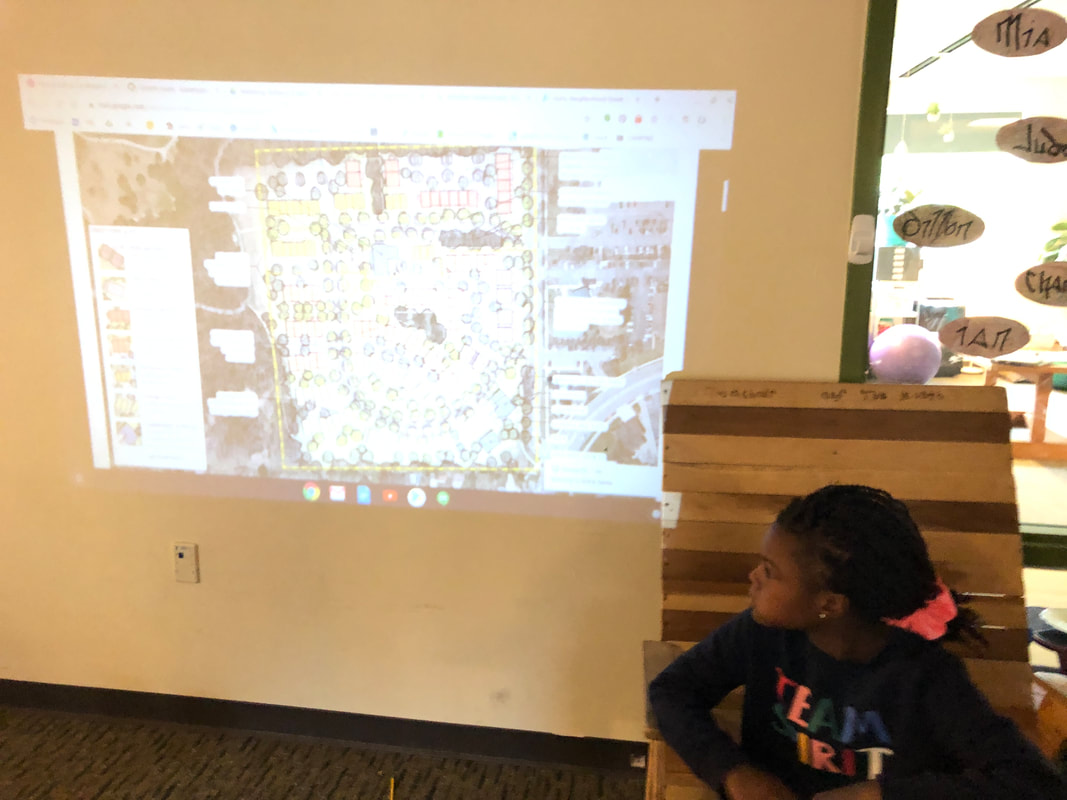
 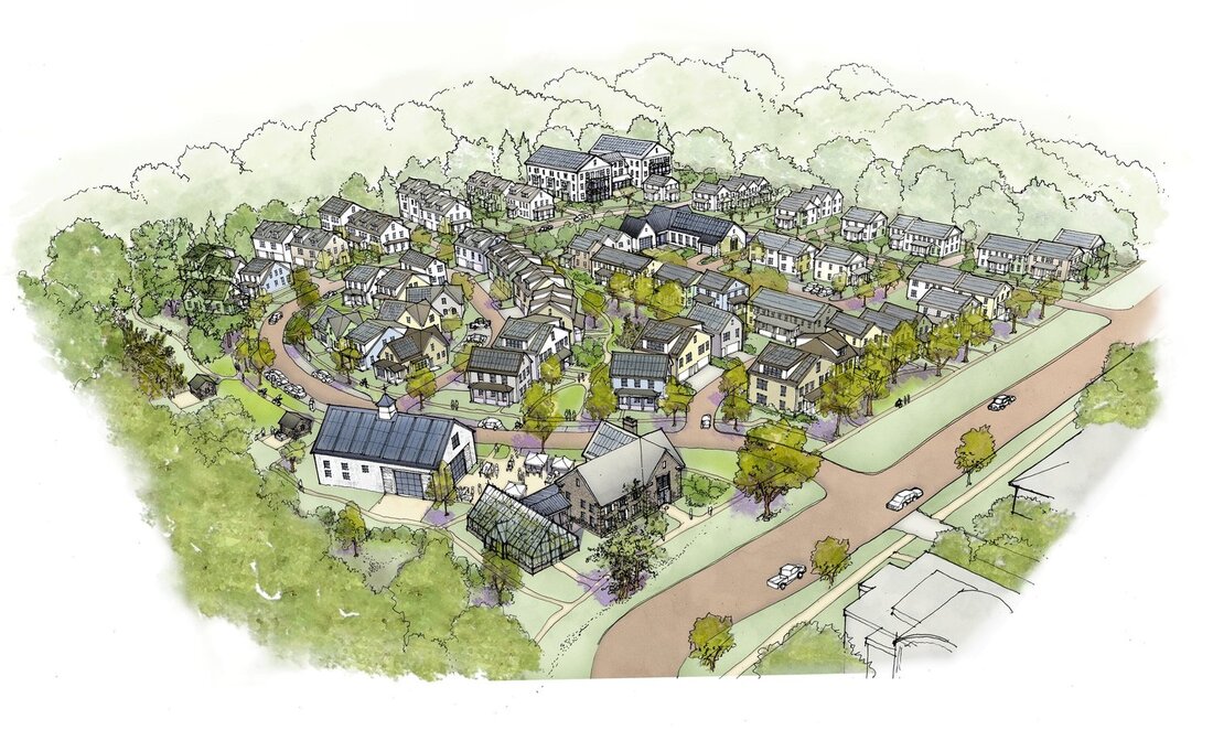 We welcomed Matt Grocoff from Veridian at County Farm to learn more about the project. We talked a bit about the history of that land, both recent as the site of a juvenile detention center and more distant as a place where mammoths may have roamed, feasting on the pods of honey locusts. Another aspect of our discussion was the ways in which the Veridian neighborhood differs from other traditional suburban neighborhoods, modeling some of its features on natural elements. To get them thinking about this, Matt asked:
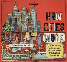
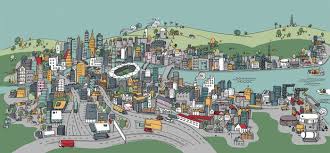
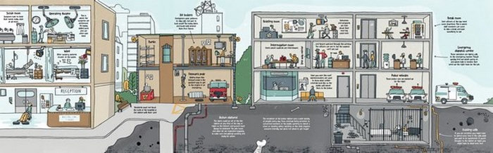
"How is a building like a tree?" "How is a neighborhood different from a forest?" Biomimicry is a central element to the Veridian project and we will be spending more time looking into how nature solves problems and how that can inform the way we satisfy our needs for food, energy, water, buildings, transportation and waste management. Part of our project worked included a read-aloud of How Cities Work, a detailed picture book describing the evolution of cities, from early villages to those of the possible future. The students noted changes over time, including roads which enabled trade and travel, a reduction in green spaces, replaced instead by buildings and the importance of water throughout. Ways of providing power were also noted as factories were accompanied by alternative approaches including solar and wind. One aspect of the book that the students particularly enjoyed was the way flaps revealed the inner workings of many of these systems, including skyscrapers being built as well as the way water is provided throughout the city. We also used this book as an opportunity to talk about the features of informational texts, including titles and subheadings. Because maps will play a significant role in the project, we also gauged their understanding of maps and their various features. The students shared the following thoughts:
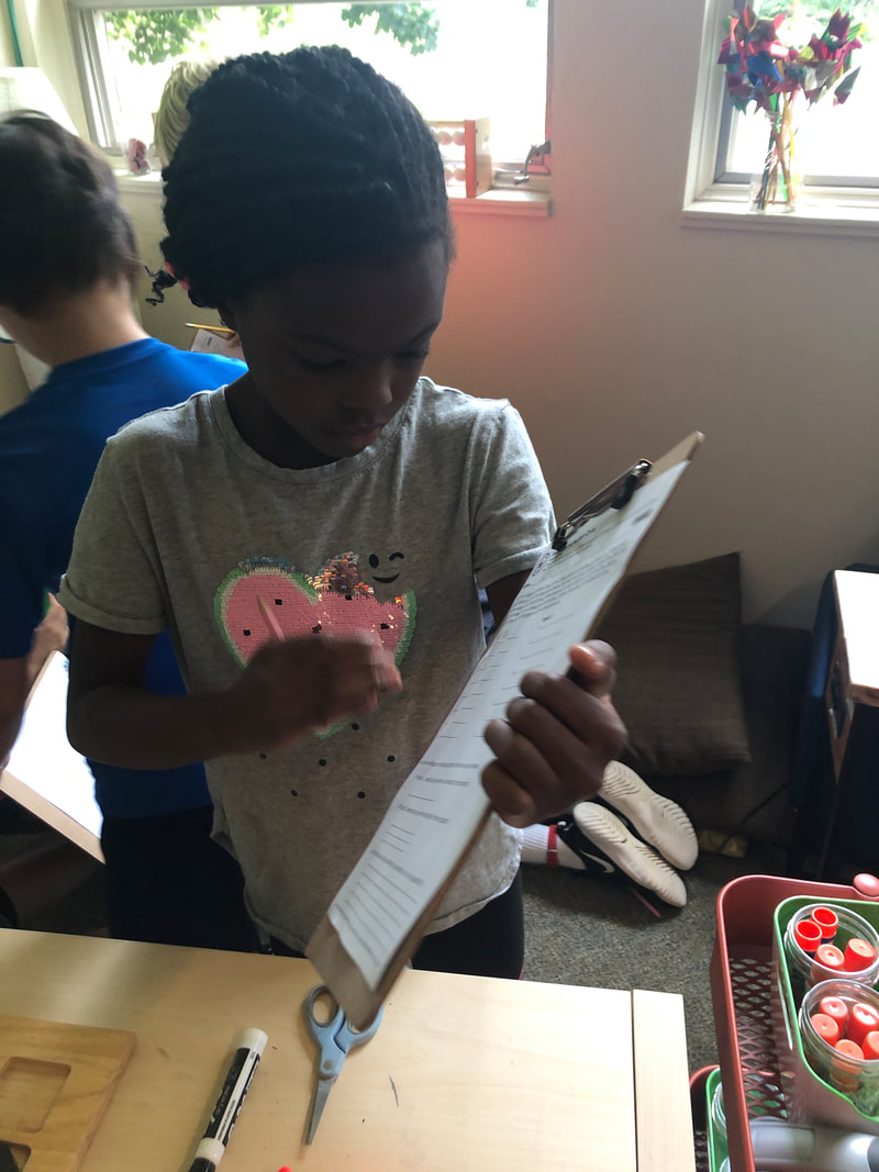
Maps are.................... "Works of Art" "Like a diagram" "Show you where you are and where to go" "Signify the journey ahead" The features they described included the following:
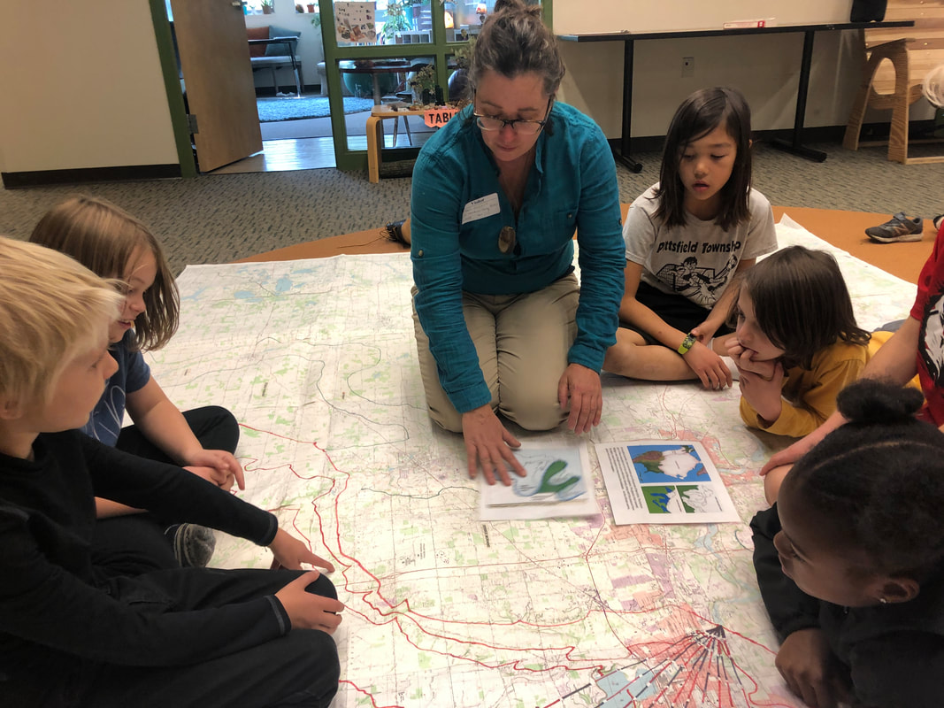
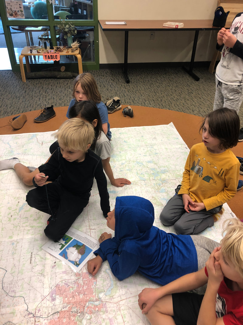
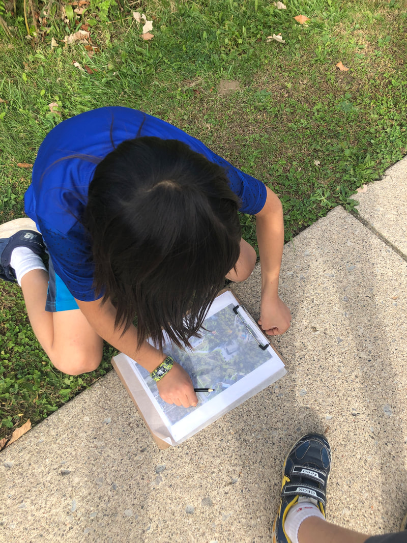
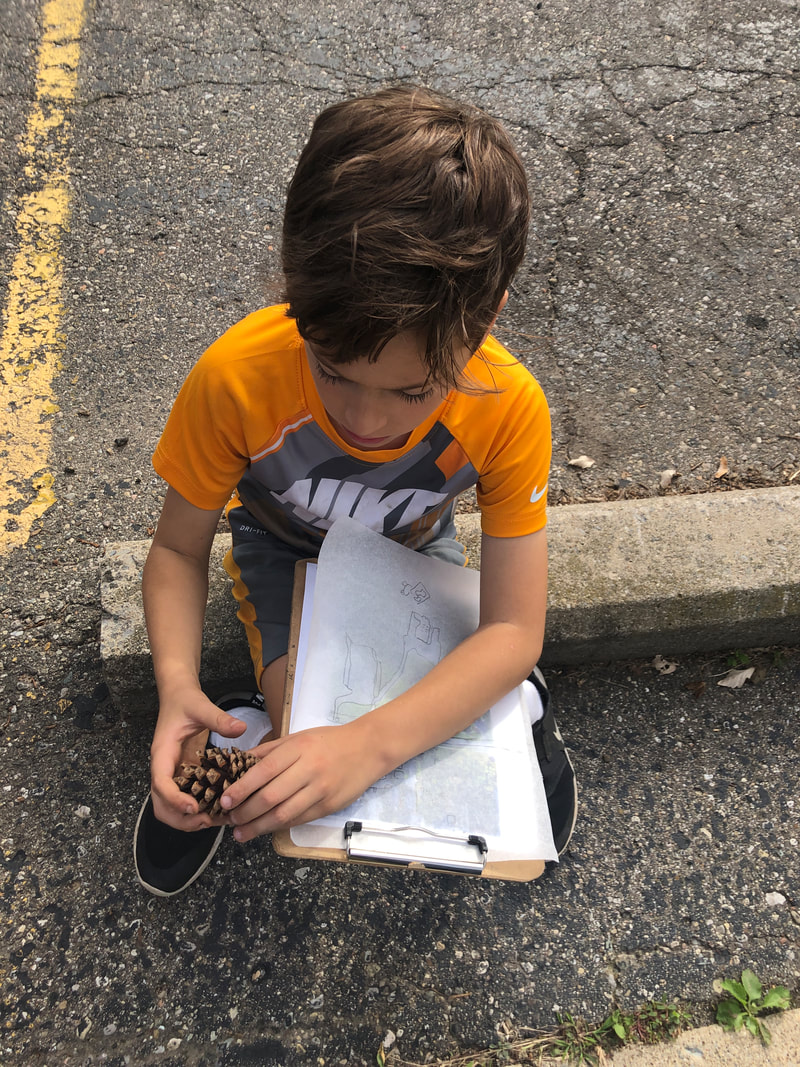
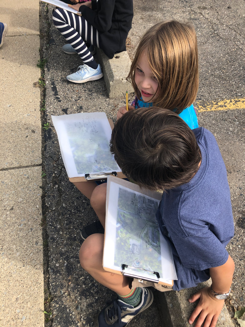
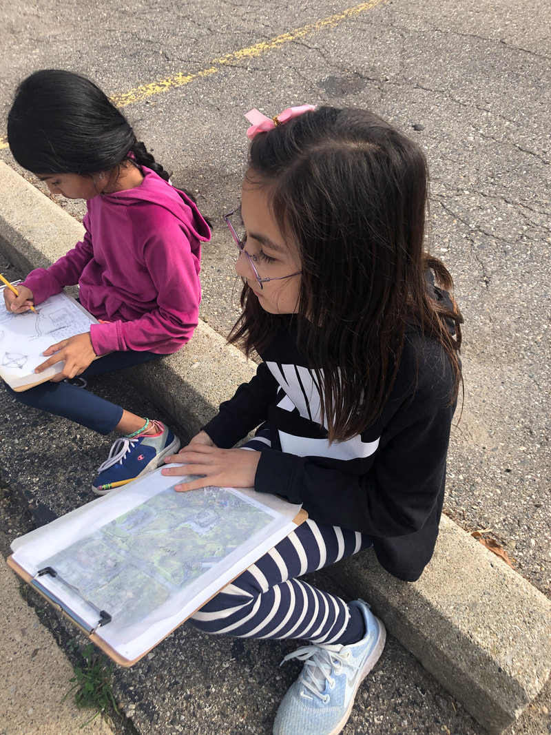
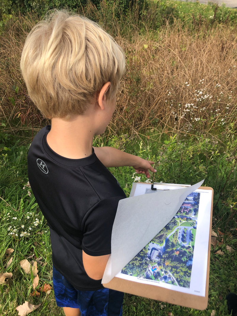
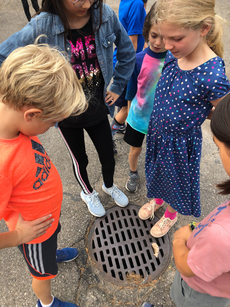
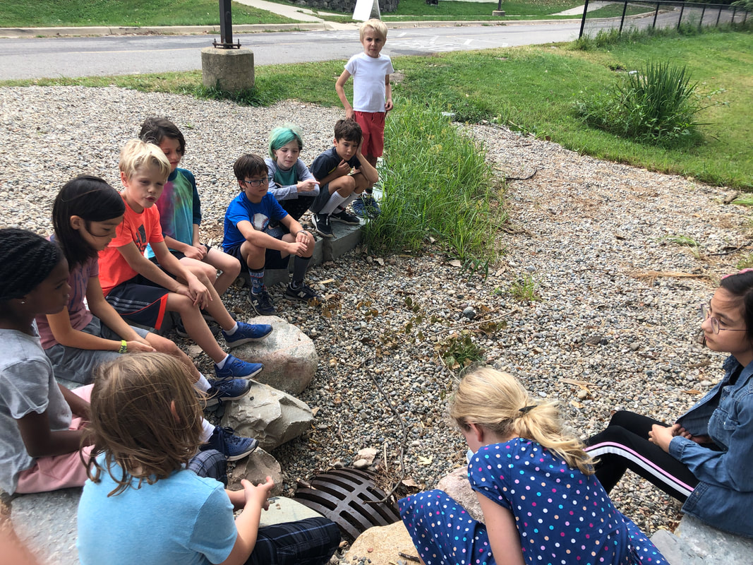
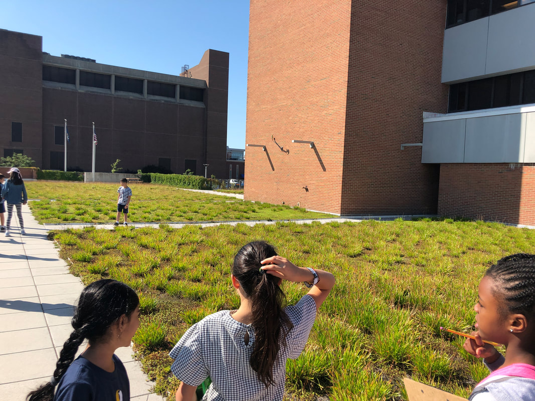
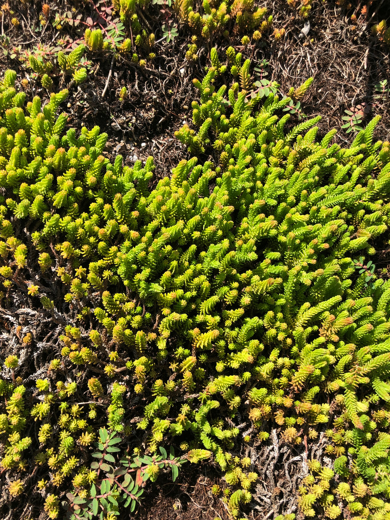
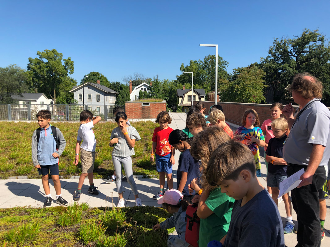
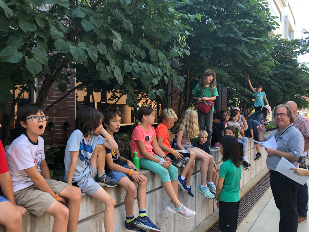
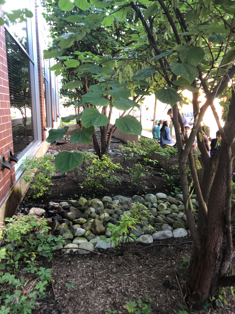
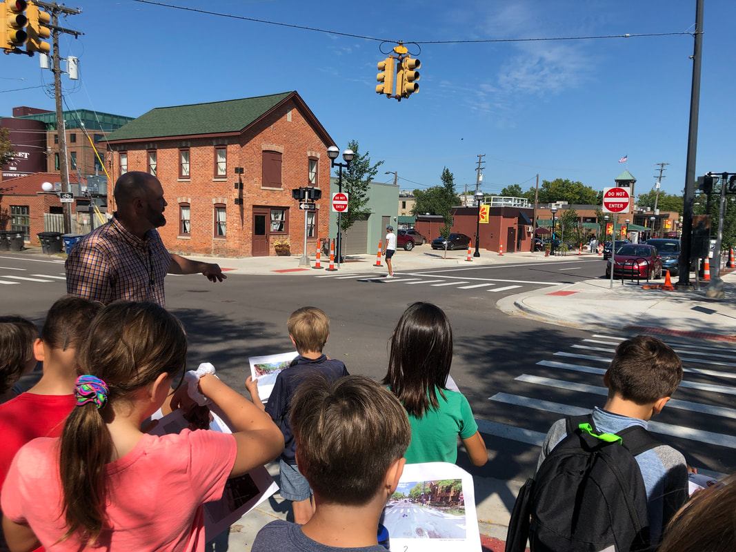
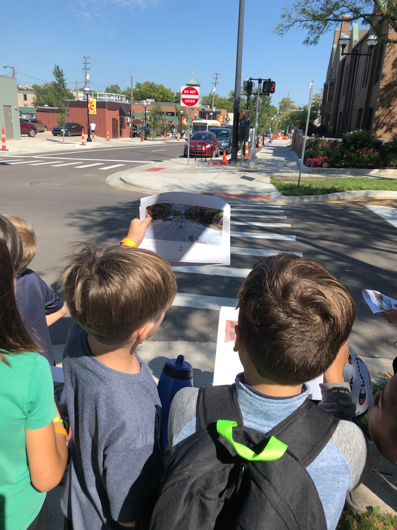
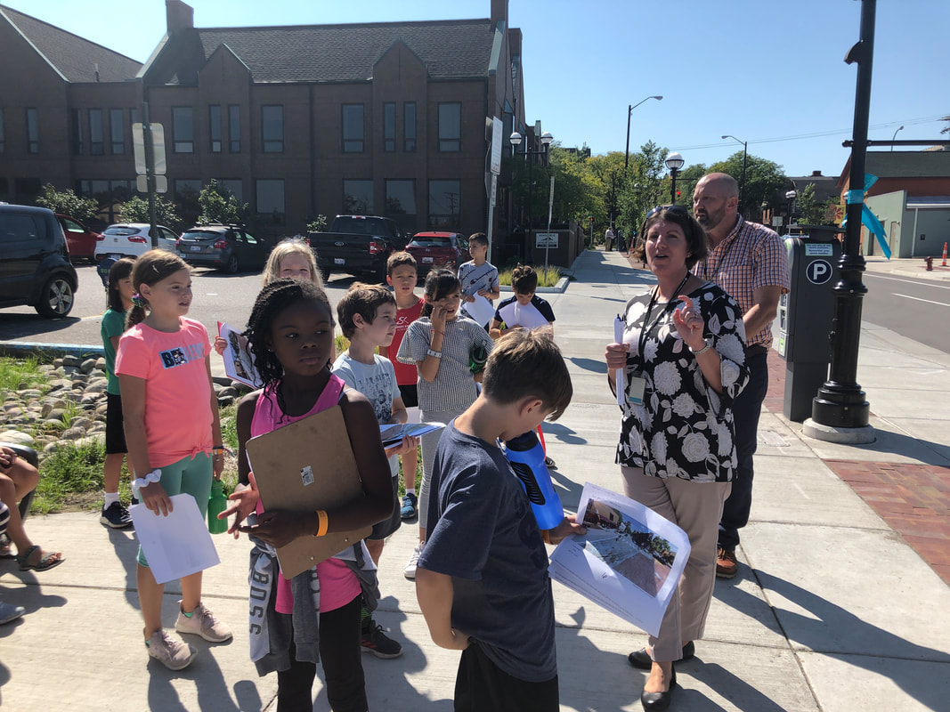
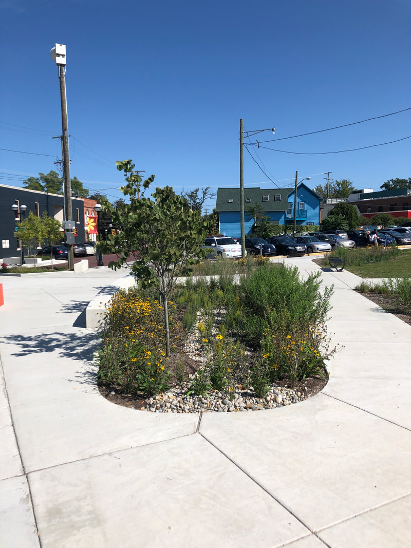
We also focused on the ideas of location and place with "location" describing where something was and "place" describing what it was like to be there. The students made maps of SK and nearby places. We then walked the grounds, orienting ourselves on our maps and adding details that we felt made our school unique or provoked emotions. Examples included the chicken coop, the crosswalk, the greenhouse, the soccer field and forts. The purpose of this was to help them begin to connect maps to their experiences of location and place. We will be revisiting the school grounds as well as the Veridian site with different lenses in the future. One topic that we will be exploring as a part of our project work is water and we spent time this week reviewing the water cycle both through discussion and illustration as well as a game. In the game, students were raindrops and stationed at various places in the room, including the Huron River, Bird Hills, clouds and a storm drain (among others.) Students then rolled a die to determine where they would go next. If they were in a cloud they might fall into the Huron or Bird Hills. If they were in Bird Hills, they might be absorbed by a plant or animal. The storm drain differed in that it only led to the Huron River. While some considered this a good thing, we talked about the problems as run-off collects pollutants and debris along the way to the drain. This has a negative effect on our river. After sharing their individual paths, they completed the second round with one minor change. The storm drain was swapped out and replaced with a rain garden. This replacement meant less run-off in the river and instead, it was captured and stored onsite where it could be used by plants and animals or as groundwater, thus benefiting people and ecosystems. This week we visited with urban planners to learn more about how they approach their work and the thinking behind the decisions and plans they make. We began at City Hall where we were shown the various elements of the building that capture rainwater and prevent runoff during heavy storm events. These included rain gardens and permeated pavers. A living roof also catches and stores rainwater and also reduces the need for air conditioning during the warmer months.
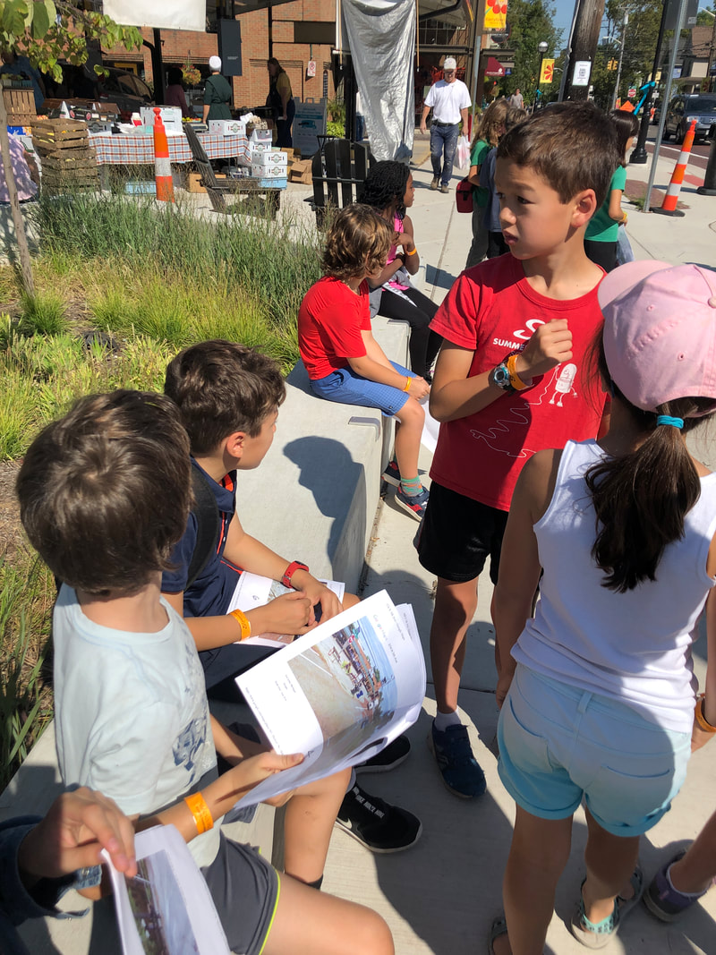
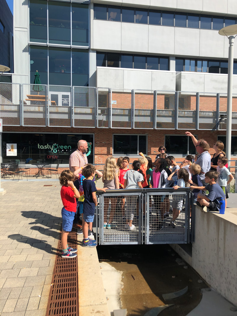
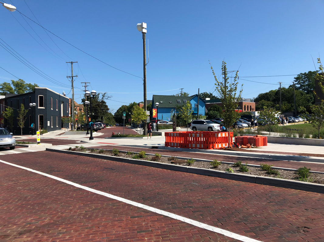
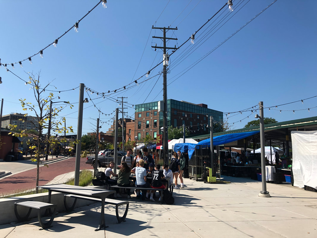
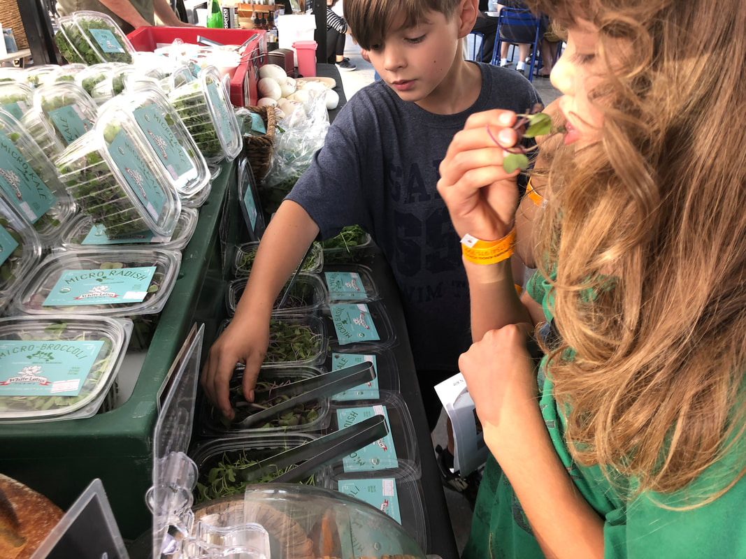
From there, we walked over to Kerrytown where we took note of the various changes they made to accommodate multiple types of users. Pictures of Kerrytown prior to redevelopment made it easier to see the changes. Seeing that the street was difficult to cross and designed mainly for car use, the planners designed for bike lanes and a median strip that made crossing the streets for pedestrians much easier. Seating was also added so that people, including students from Community High, could gather. We ended the trip with a walk through the farmer's market where students sampled local produce and were taught how to make bread pudding by a local chef from Zingerman's Cornman Farms. Students reflected on the trip through a group discussion followed by individual writing or drawing of an element they connected with, describing what it was and how it benefited the community or the environment. The trip served as an introduction to a project we will be working on that focuses on the built environment and its effects on people and the natural environment. |
Archives
February 2020
Categories |


 RSS Feed
