|
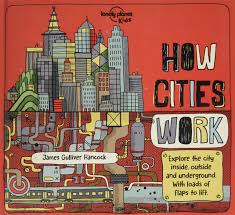
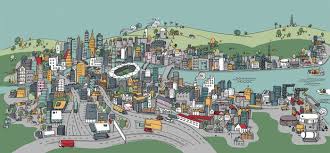
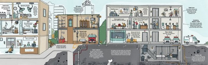
Part of our project worked included a read-aloud of How Cities Work, a detailed picture book describing the evolution of cities, from early villages to those of the possible future. The students noted changes over time, including roads which enabled trade and travel, a reduction in green spaces, replaced instead by buildings and the importance of water throughout. Ways of providing power were also noted as factories were accompanied by alternative approaches including solar and wind. One aspect of the book that the students particularly enjoyed was the way flaps revealed the inner workings of many of these systems, including skyscrapers being built as well as the way water is provided throughout the city. We also used this book as an opportunity to talk about the features of informational texts, including titles and subheadings. Because maps will play a significant role in the project, we also gauged their understanding of maps and their various features. The students shared the following thoughts:
Maps are.................... "Works of Art" "Like a diagram" "Show you where you are and where to go" "Signify the journey ahead" The features they described included the following:
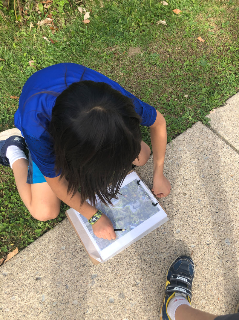
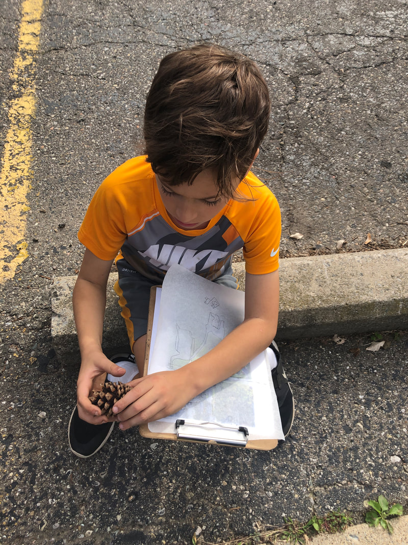
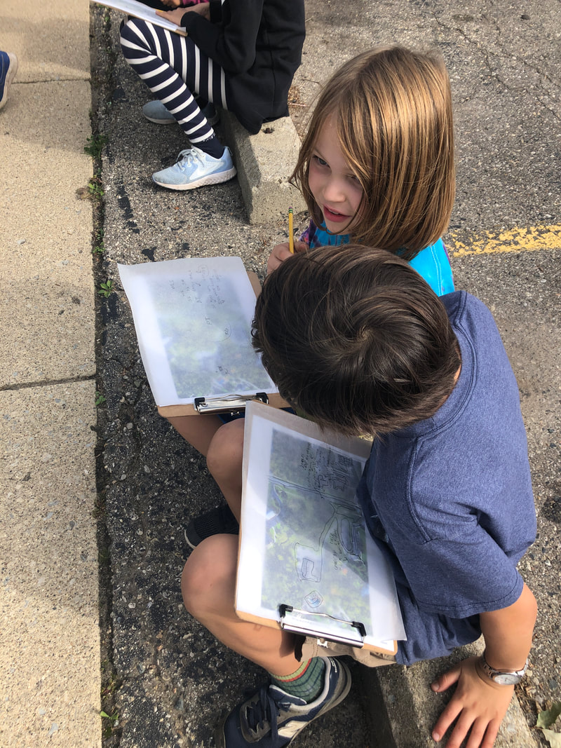
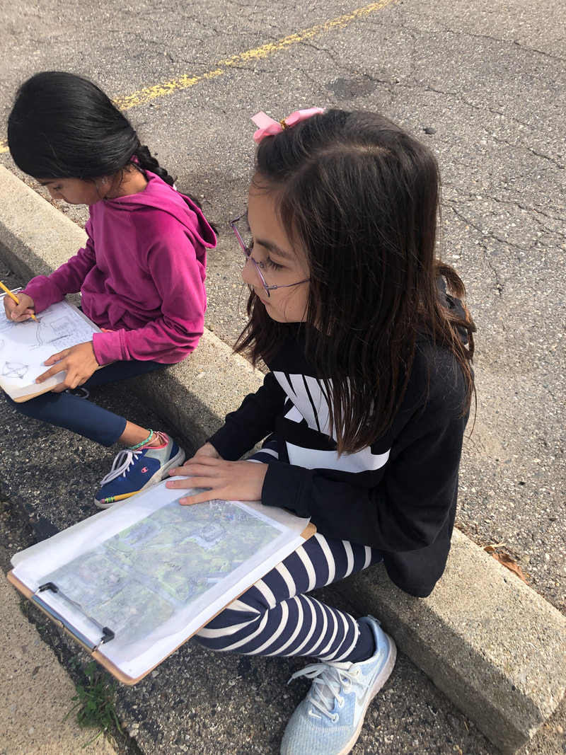
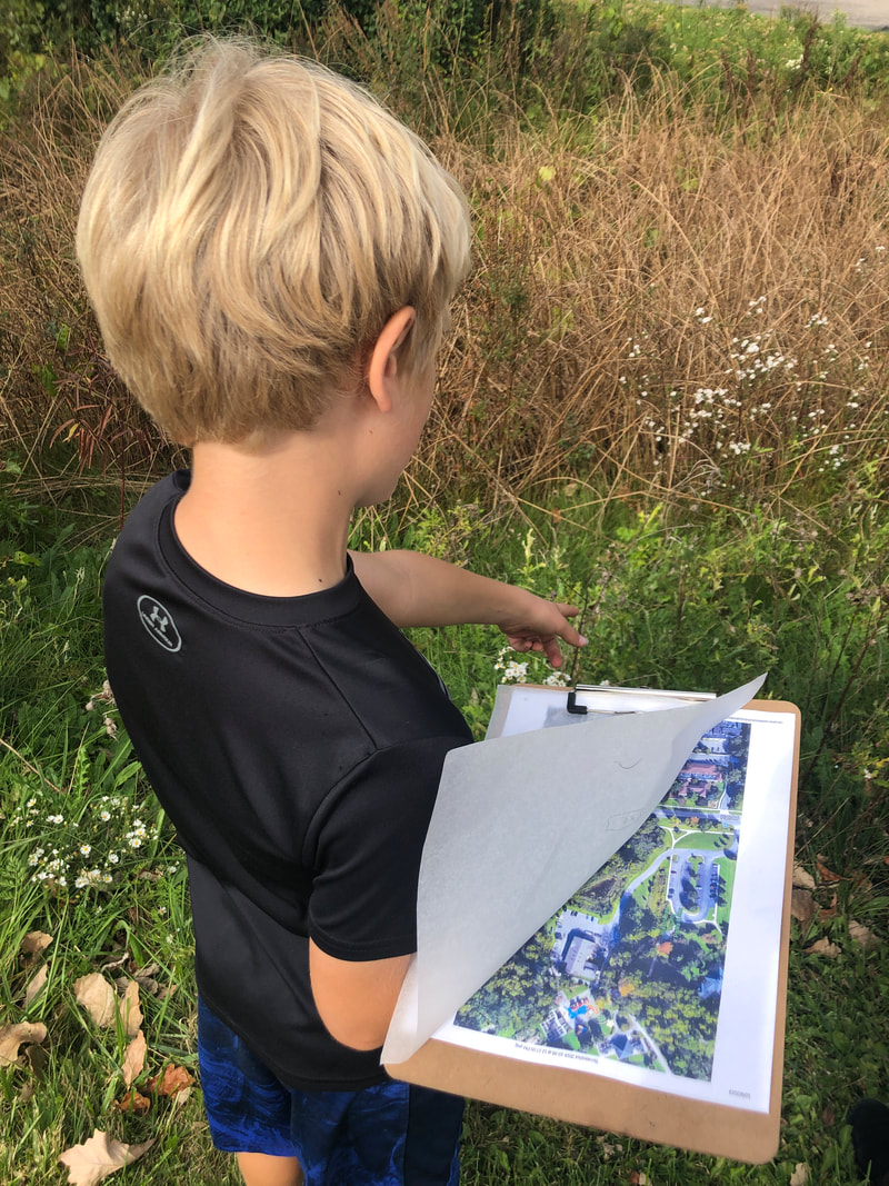
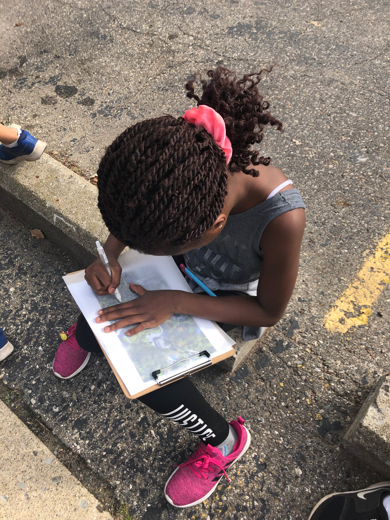
We also focused on the ideas of location and place with "location" describing where something was and "place" describing what it was like to be there. The students made maps of SK and nearby places. We then walked the grounds, orienting ourselves on our maps and adding details that we felt made our school unique or provoked emotions. Examples included the chicken coop, the crosswalk, the greenhouse, the soccer field and forts. The purpose of this was to help them begin to connect maps to their experiences of location and place. We will be revisiting the school grounds as well as the Veridian site with different lenses in the future.
0 Comments
Leave a Reply. |
Archives
February 2020
Categories |
 RSS Feed
