|
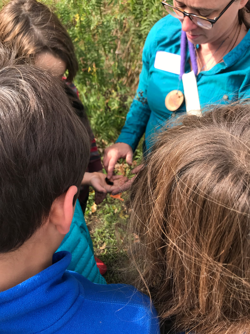
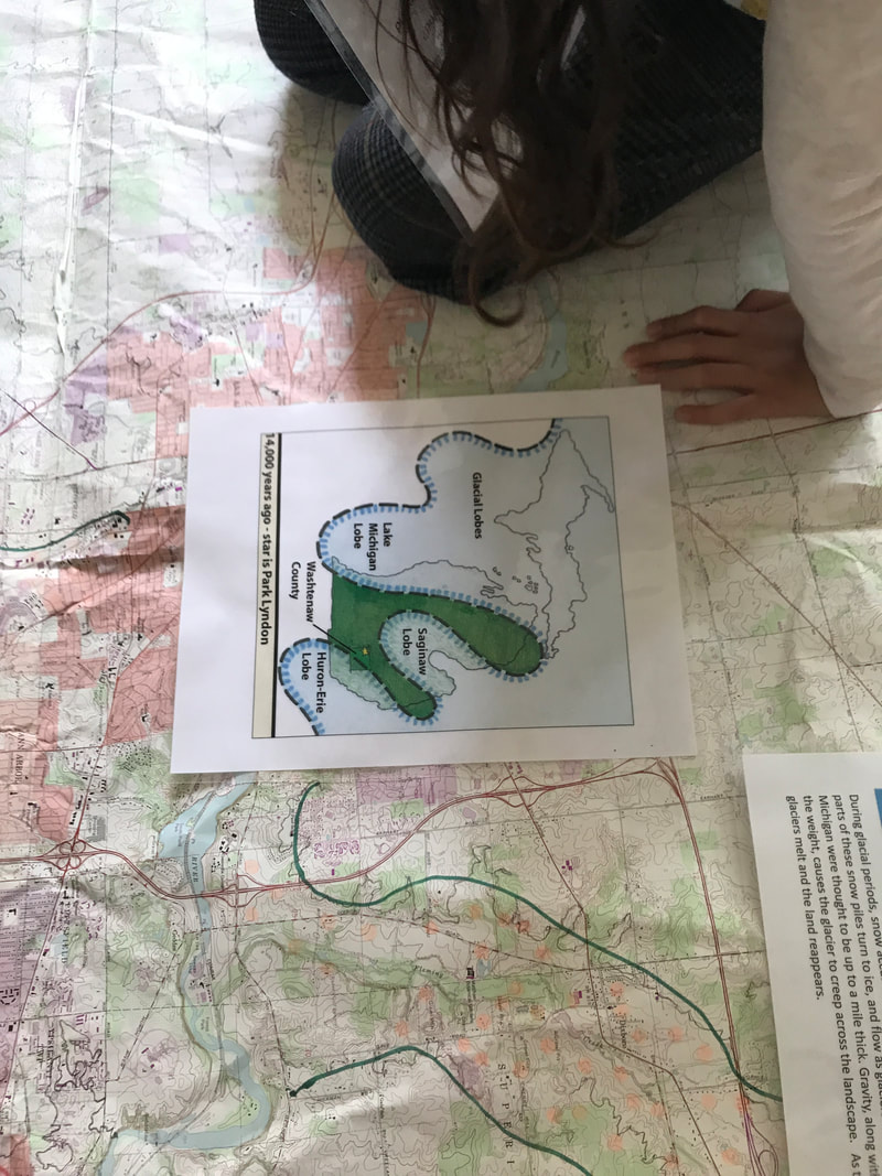
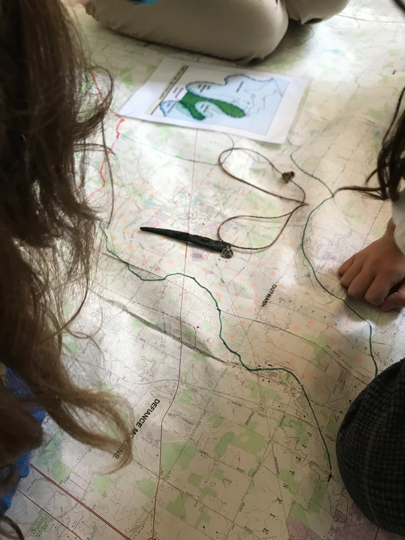
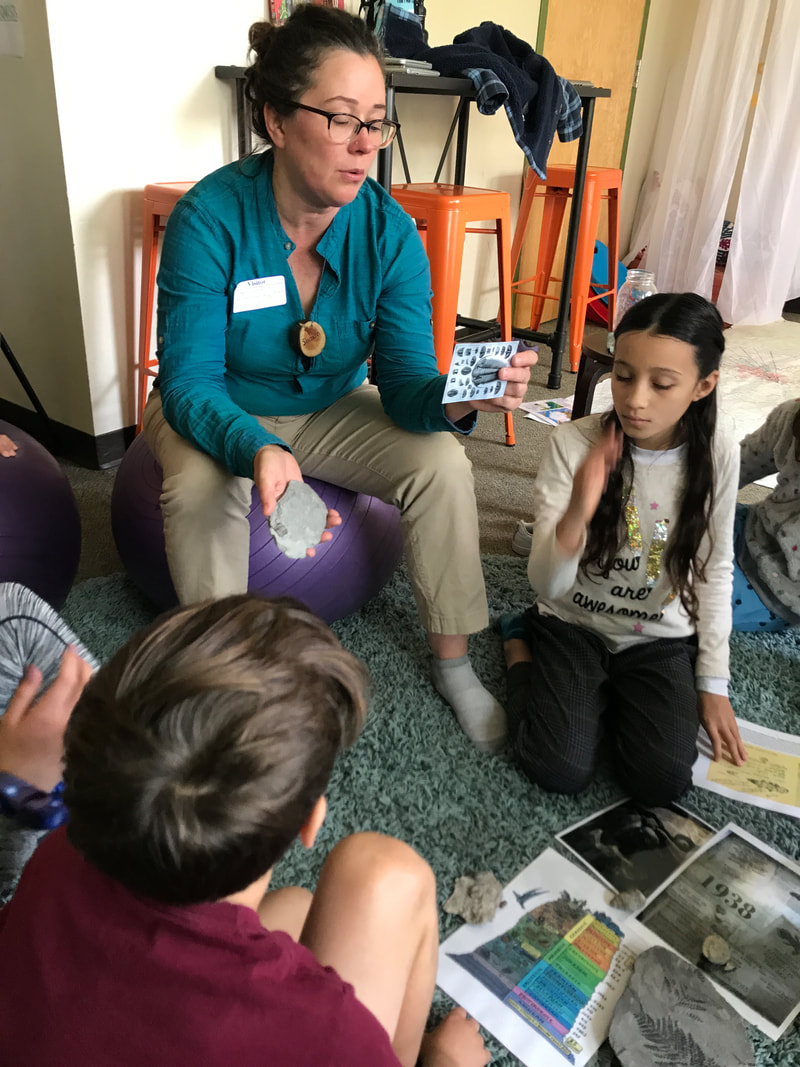
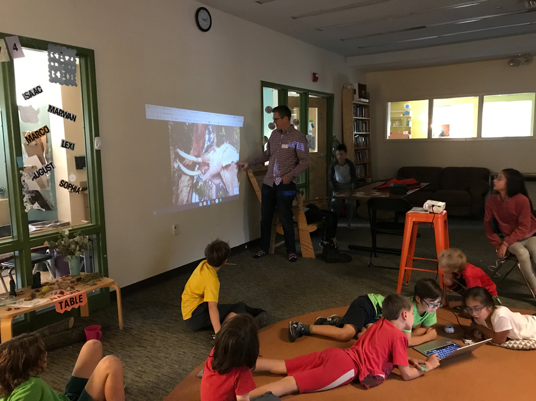
This week students took a trip to Washtenaw County 400 million years ago, when it was completely submerged under water! When we begin to think about place, we ask: how did this space become what it is today? Naturalist Shawn Severance from County Farm Park visited with our 3/4s to introduce us to two major turning points in the history of Washtenaw County, and Michigan in general, that have provided us with the land we inhabit today.
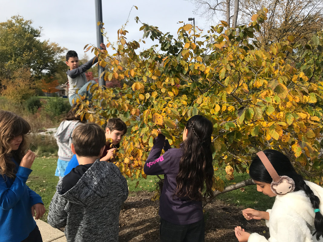
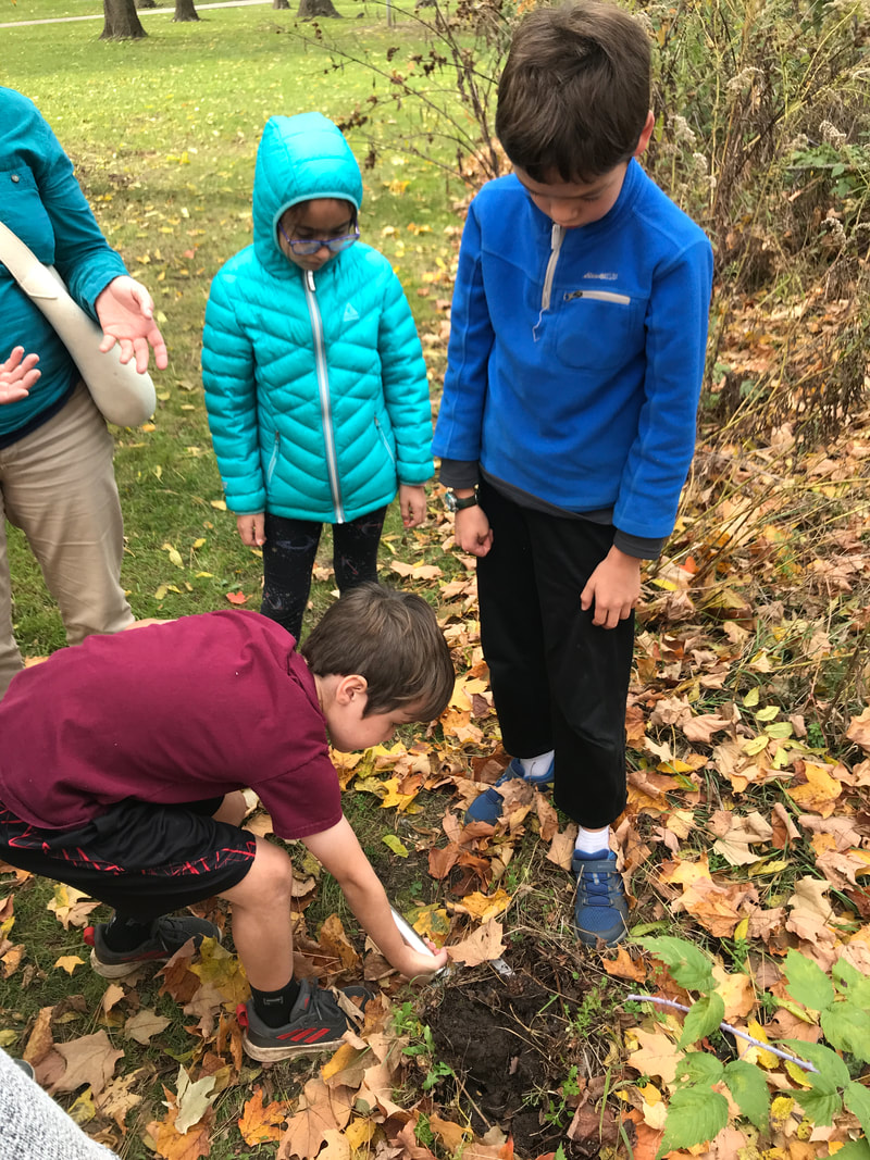
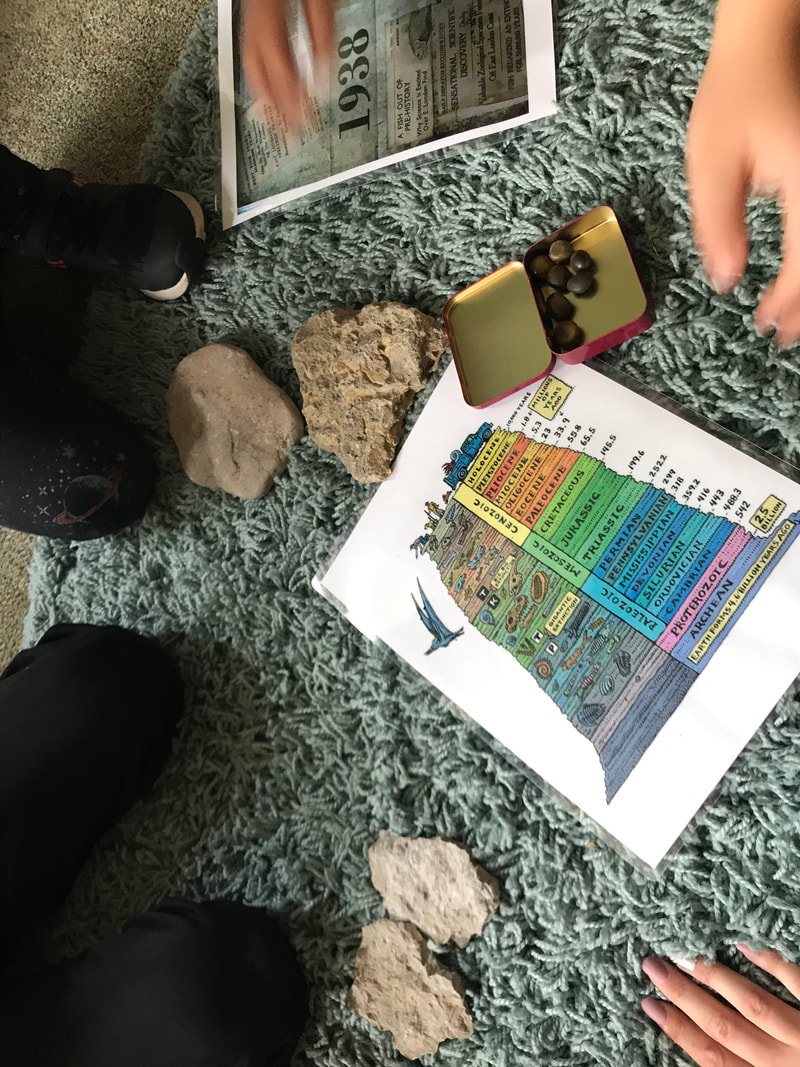
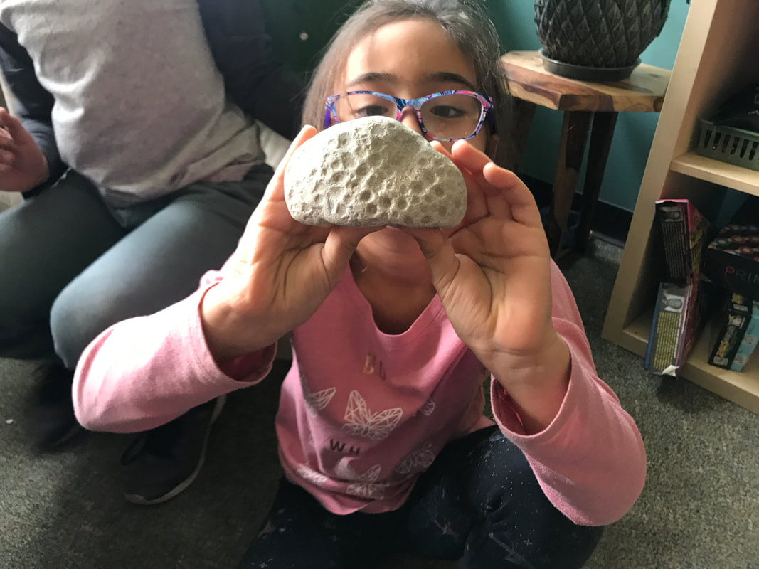
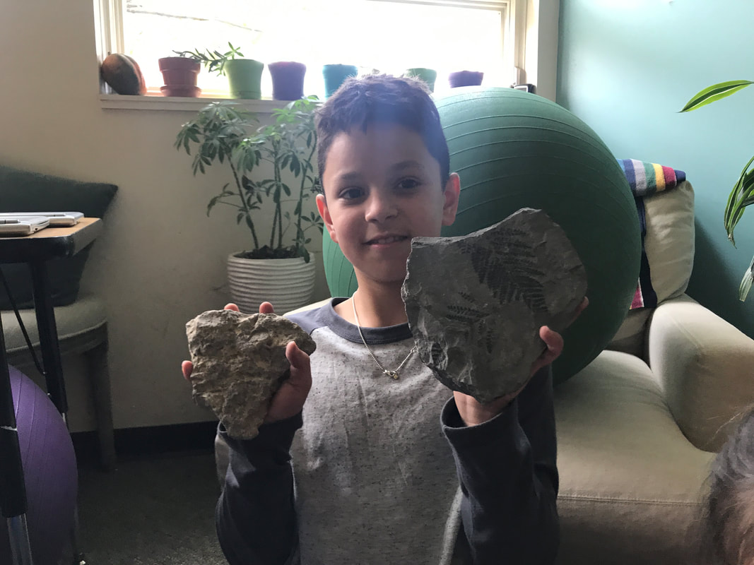
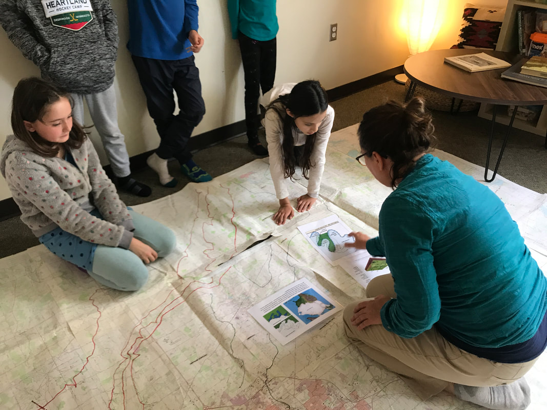
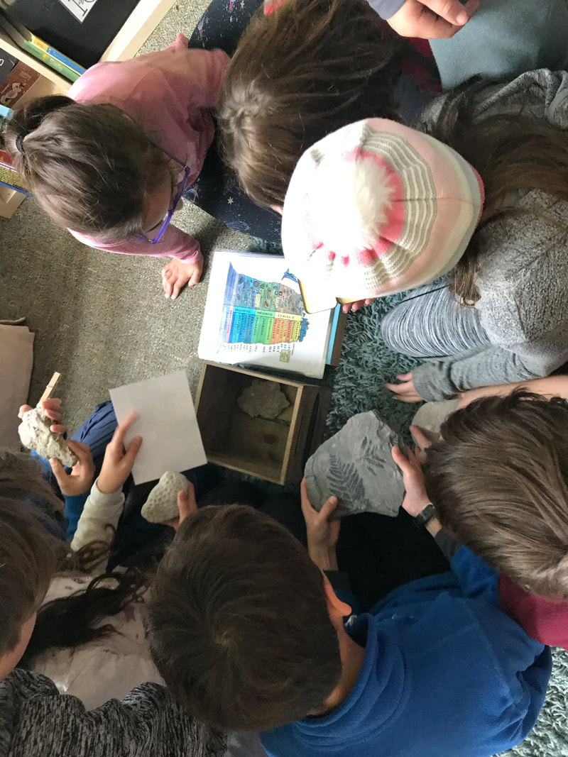
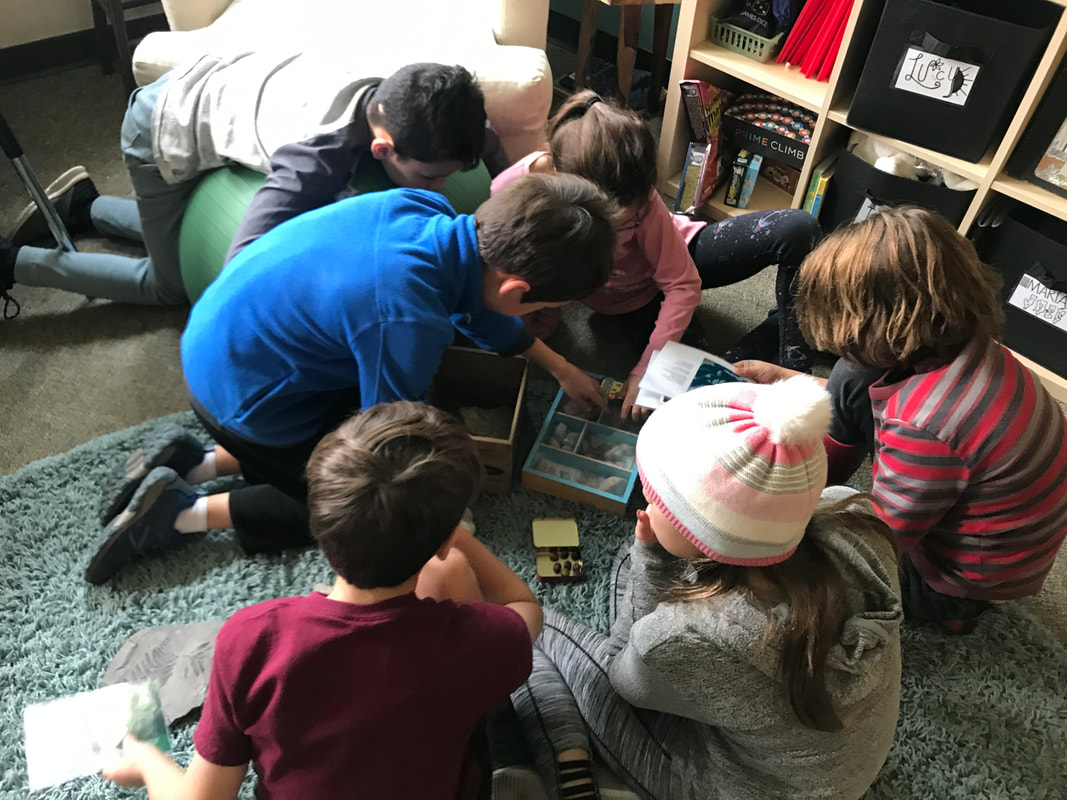
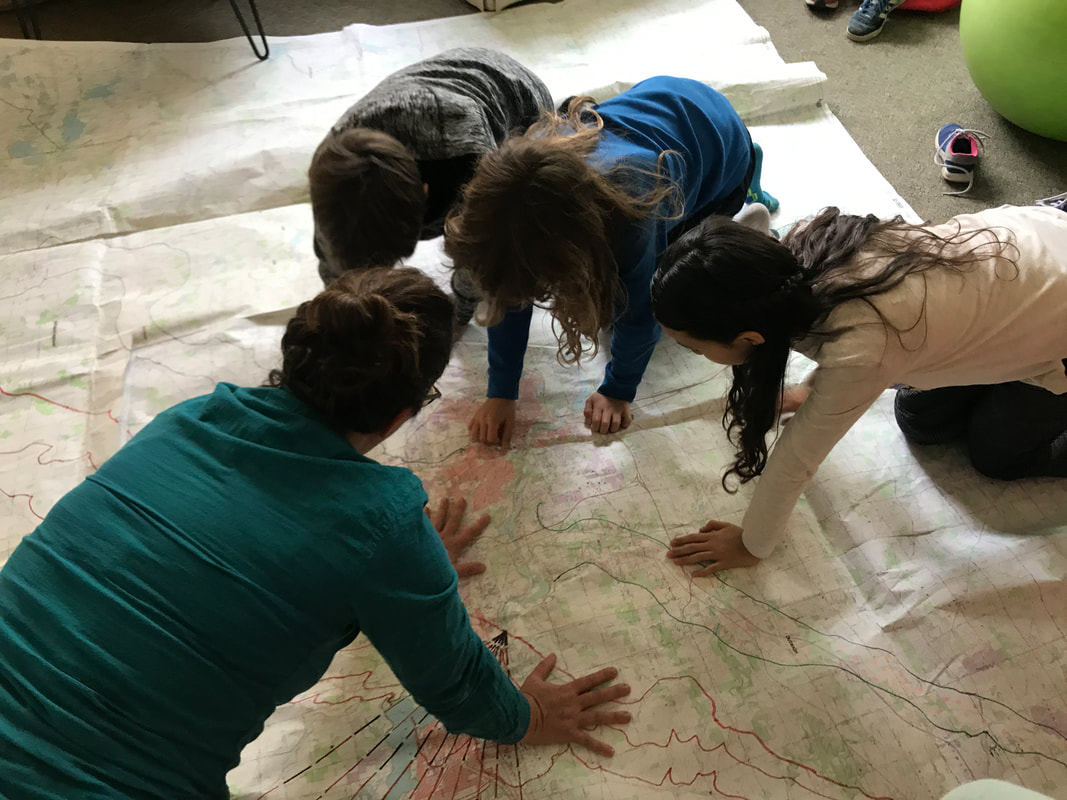
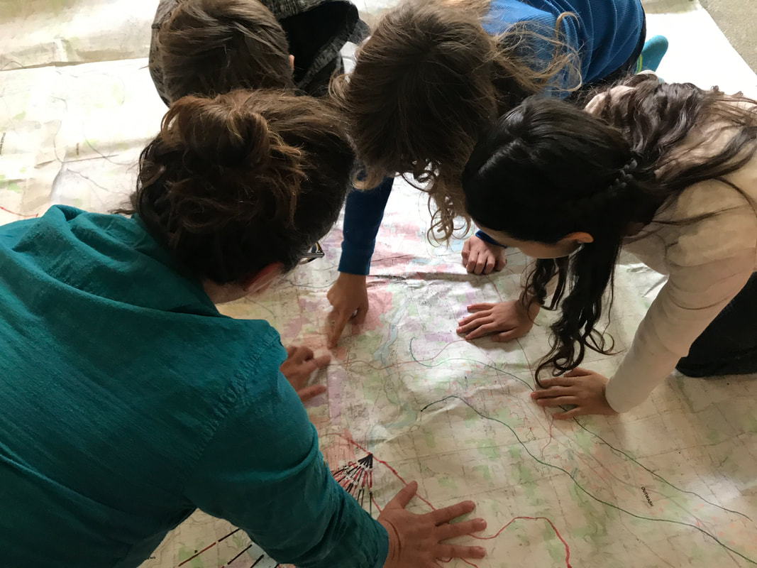
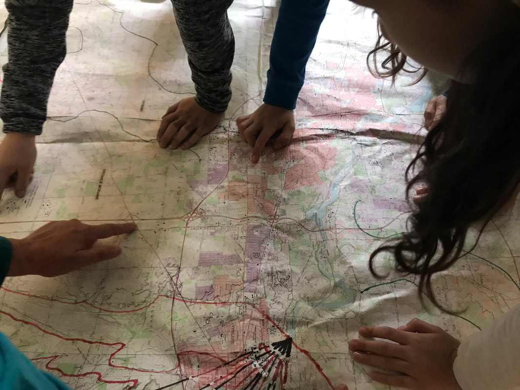
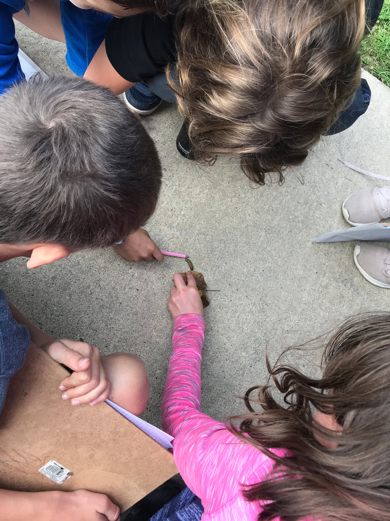
The first was 400 million years ago in the Devonian period, when Michigan was completely submerged under water. The second was 14,000 years ago, when Michigan was covered in a mule high glacier! Shawn provided students with artifacts from these periods, such as trilobite and fern fossils, mammoth tusks, petoskey stones, and other items. We also looked at maps documenting glacial coverage of Washtenaw County to unpack how the border of the glaciers paved the way for many roads we use today. As we studied these items, we were continuously drawn back to Shawn’s original question: does land have a memory? How do these events, which happened so long ago, still show up in the landscape around us today? We took a hike around SK and County Farm Park to look for evidence from these two periods. We examined soil samples, collected seeds, and looked at the topography of the landscape, trying to tell a story of how this place has evolved over time.
0 Comments
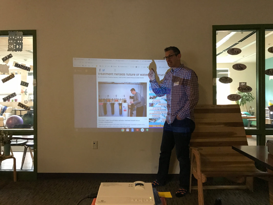
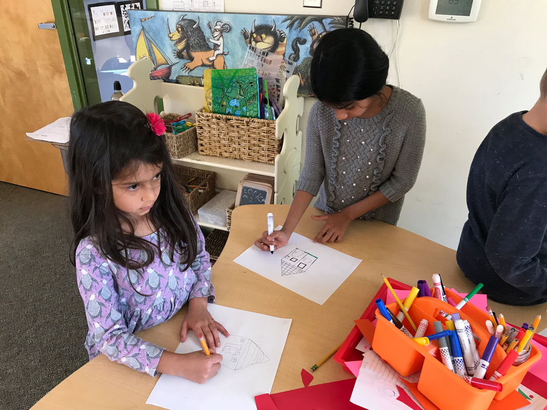
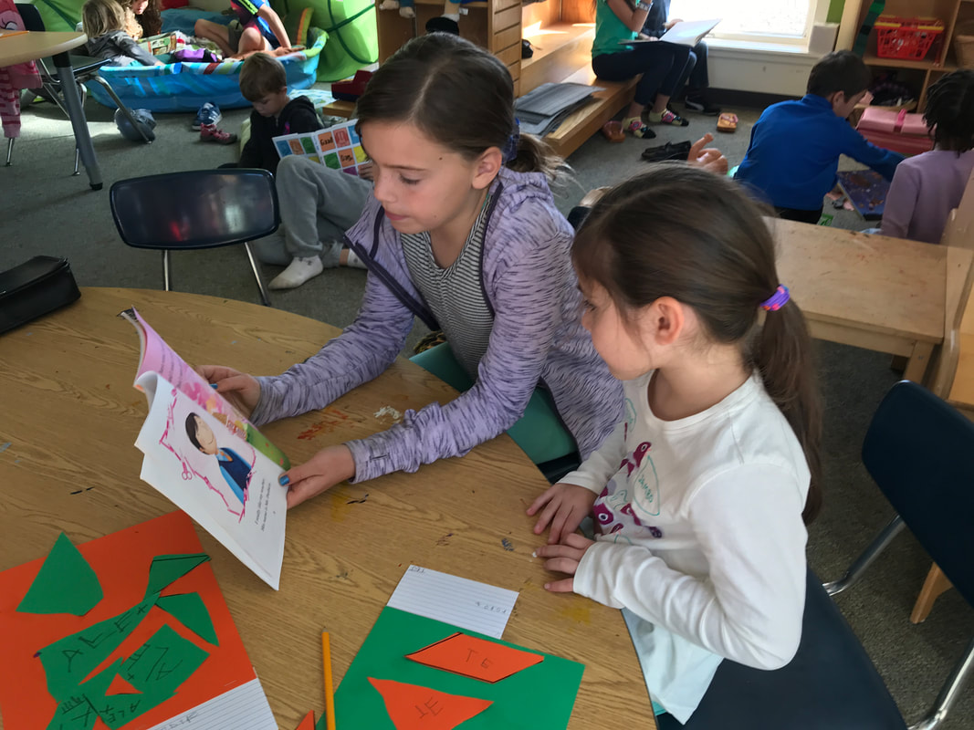
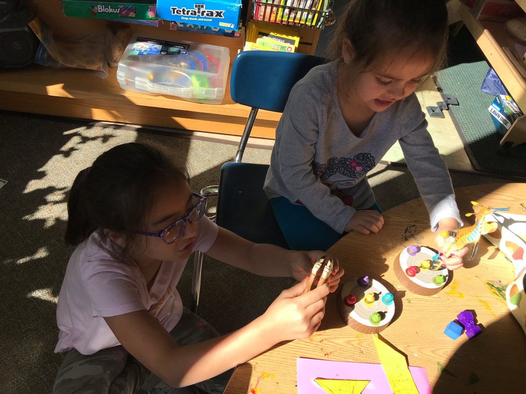
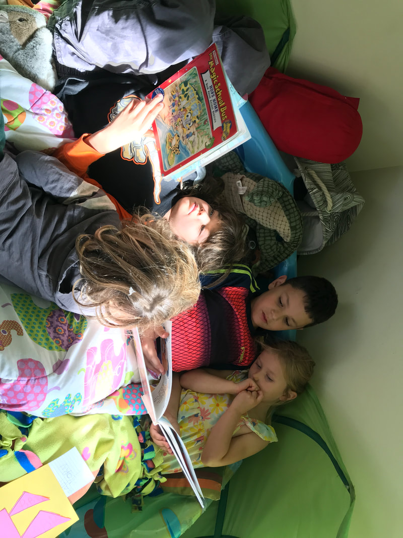
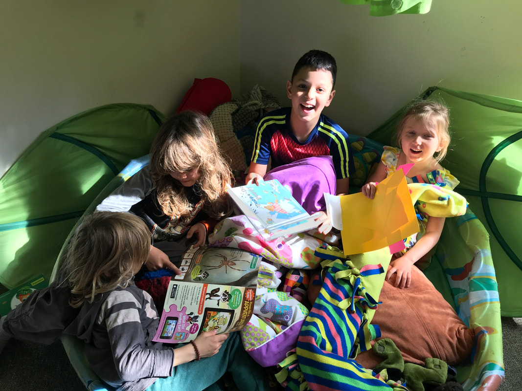
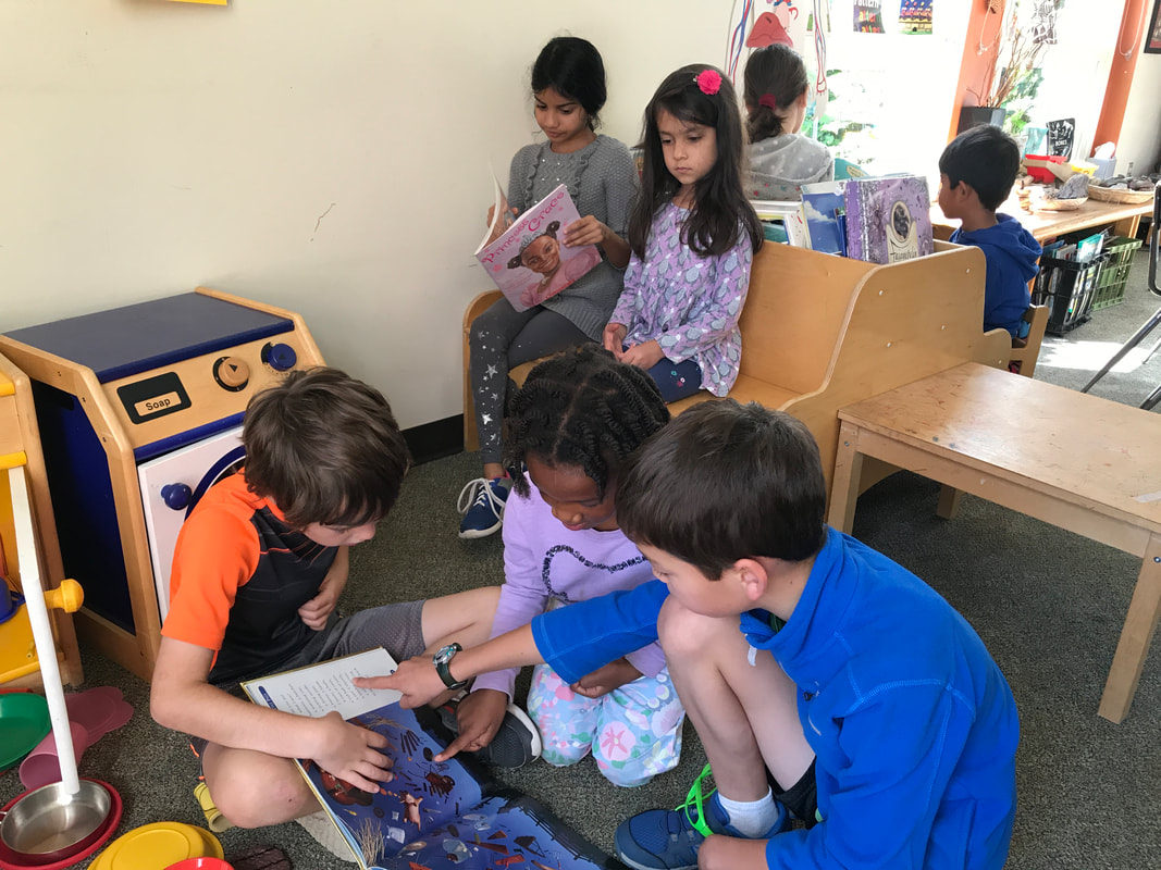
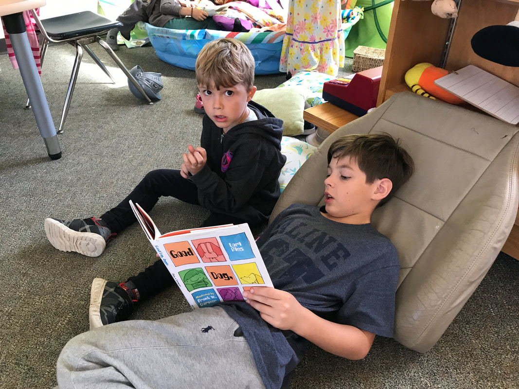
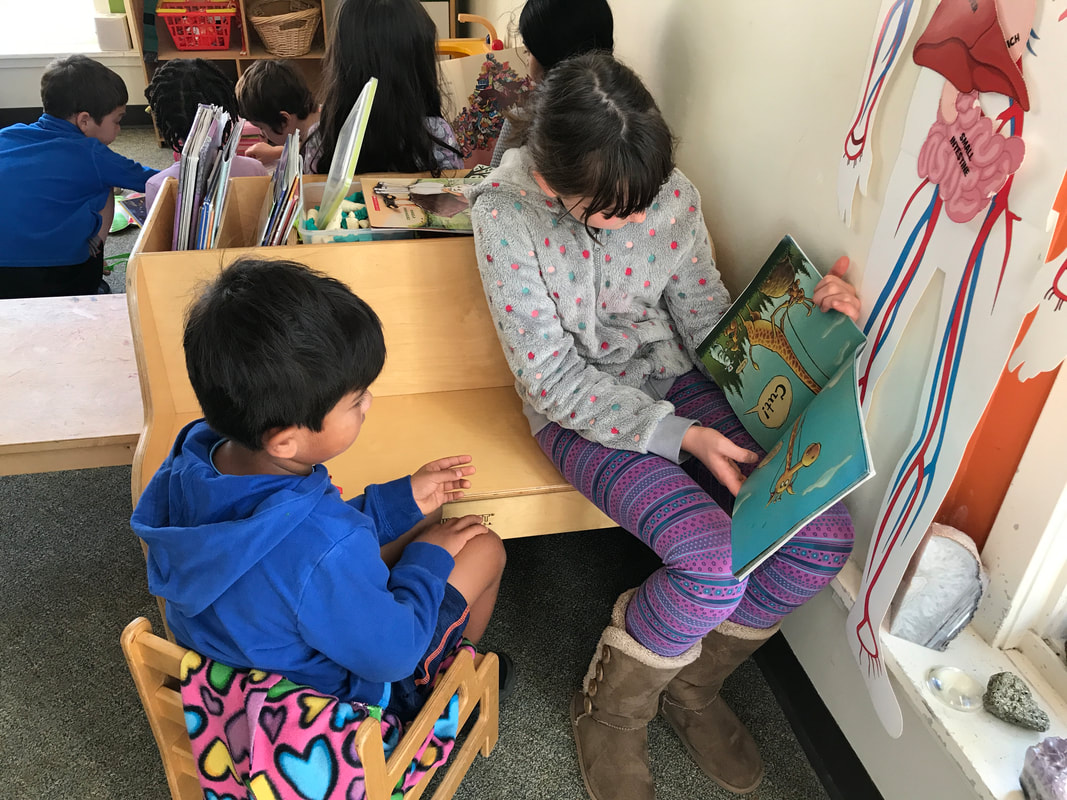
On Friday, Matt Grocoff from the Veridian Project visited with our students to introduce them to the project and its unique take on urban design. While the discussion was very rich, veering to many different trajectories according to students’ questions, some of the main questions explored were: How is a forest different than a neighborhood? How are buildings similar to flowers? Do the plans for the Veridian site differ from a traditional suburban design? Next week we will walk over to the site to begin imagining what the future of the landscape will look like, as well as how the site has changed over time. This week we visited the Kindergarten room to read with them! In these visits, our 3/4s form bonds with younger students at SK, fill the role of mentors, and improve their interpersonal skills, all while practicing reading aloud!
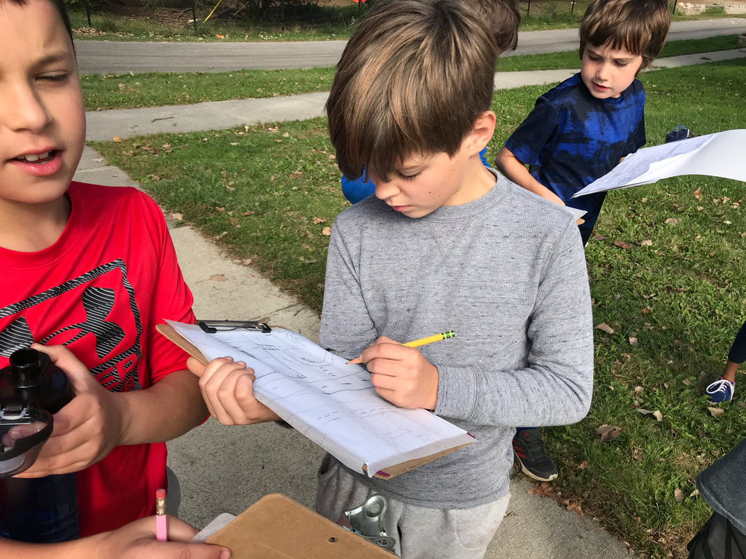
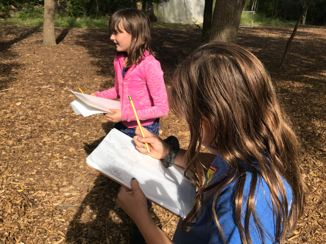
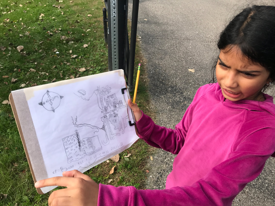
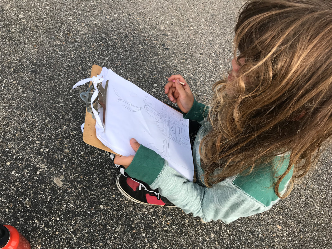
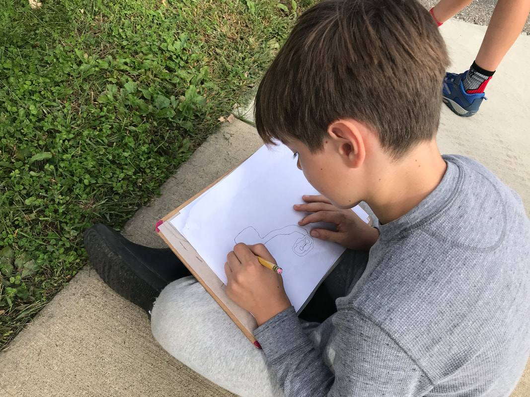
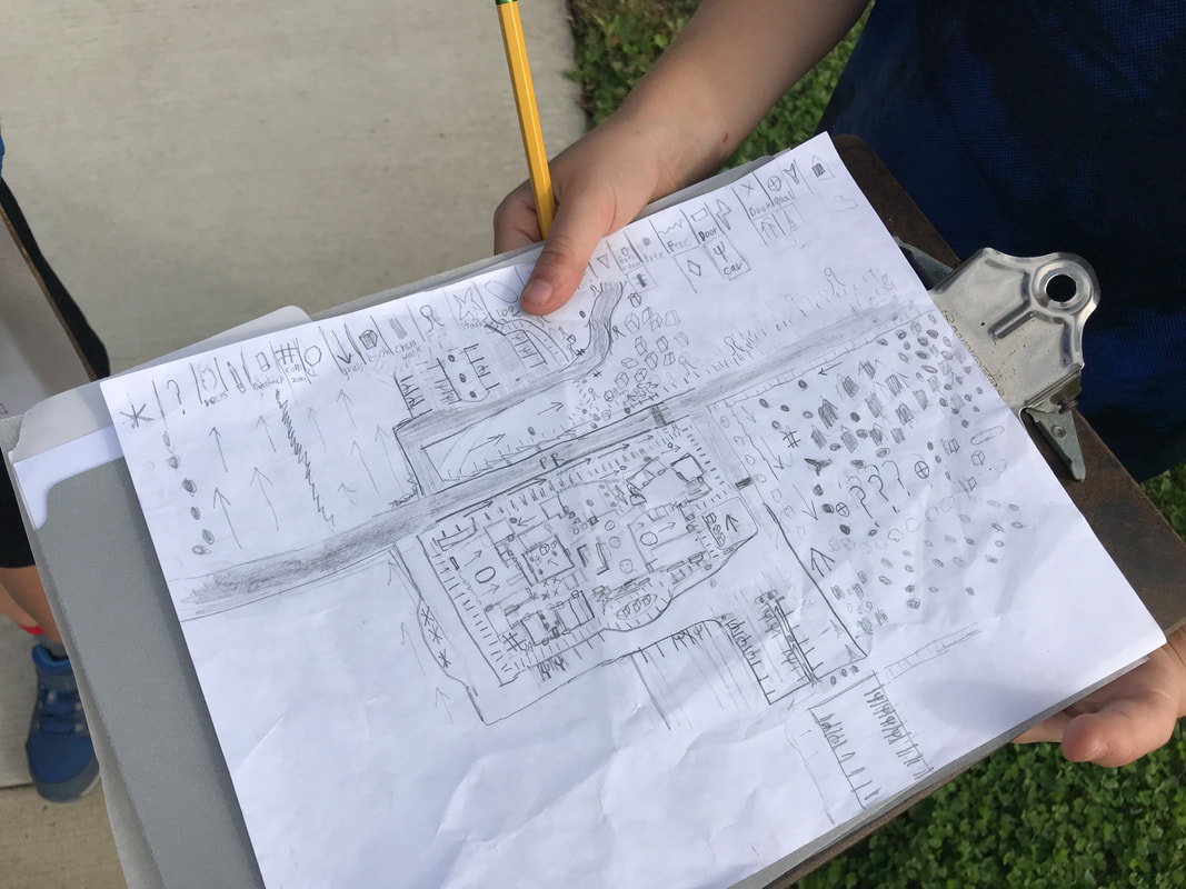
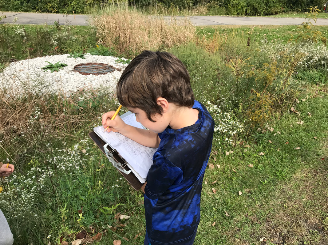
This week we began thinking about place-making and how this relates to elements of our environment that we interact with everyday. We found ourselves in a fairly lengthy philosophical discussion of location versus place. While many students could define Location--”it’s a specific spot on the earth”, “a coordinate”, “an address”--everyone had difficulty trying to define Place and how it differed from Location. WIth great hesitancy, students shared thoughts like “a place is...bigger than a location” and “a place is somewhere you go” and “a place can be anywhere, but a location doesn’t change”. At first, many students wanted to define Place as a building because they saw it as something you experience. Just as you walk into a building, a place can be inhabited, and that makes it different than location. In the end, we had the working definitions of Location as where something is and Place as what something is like.
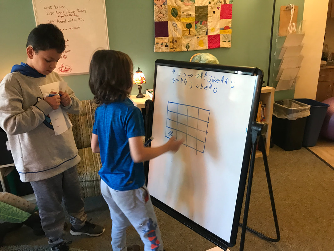
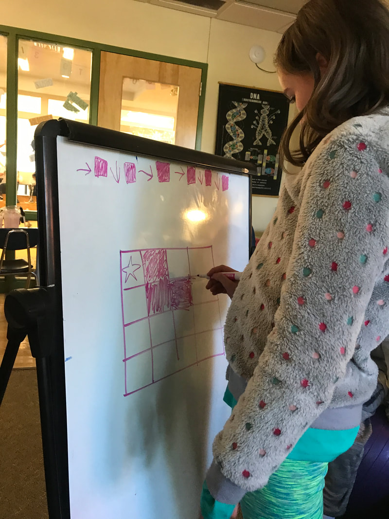
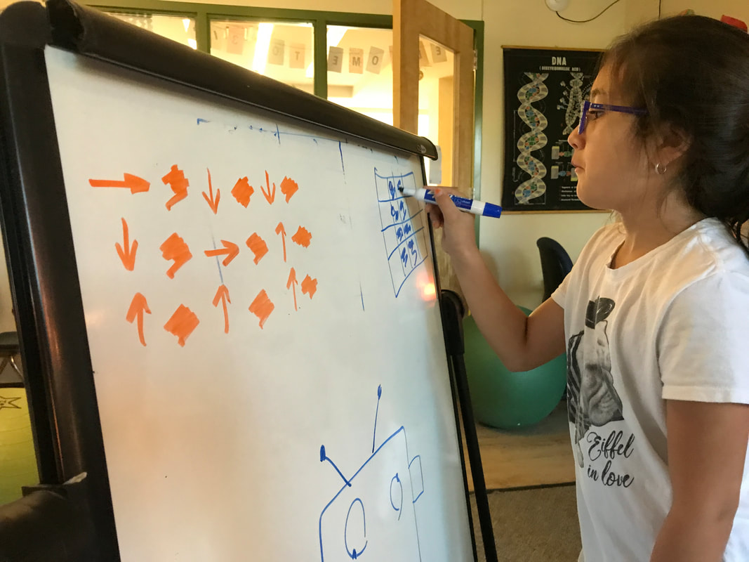
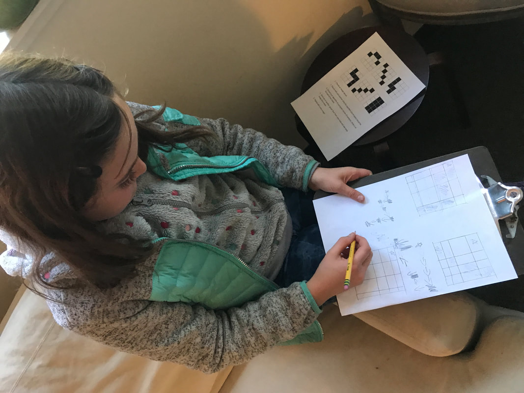
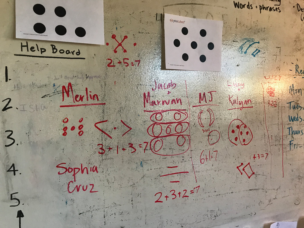
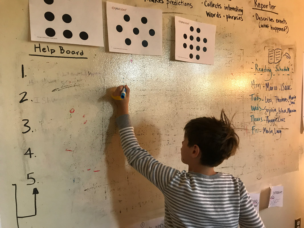
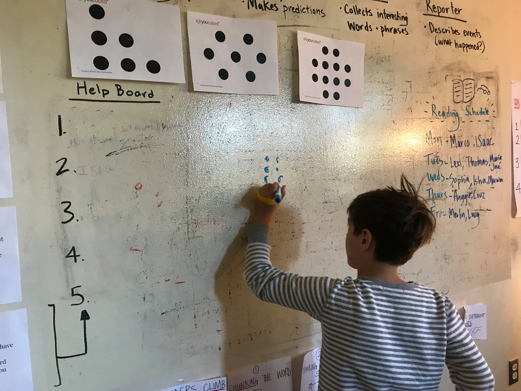
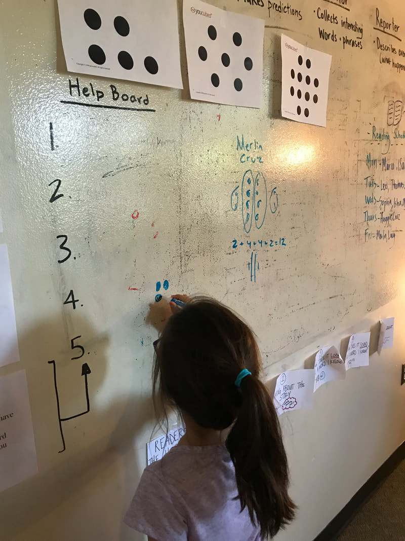
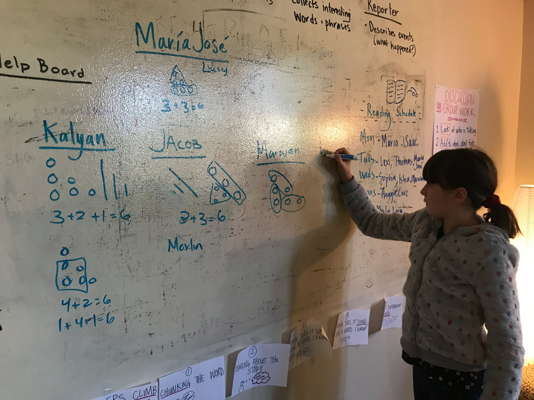
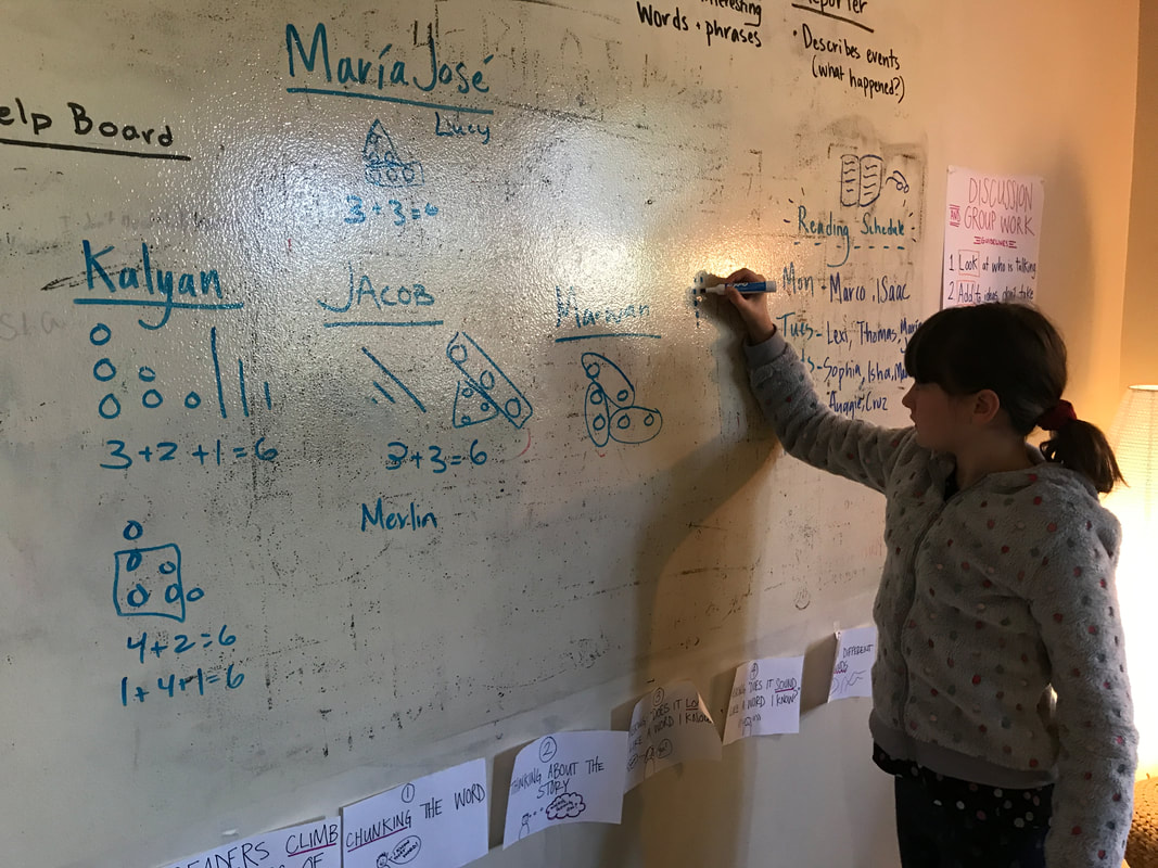
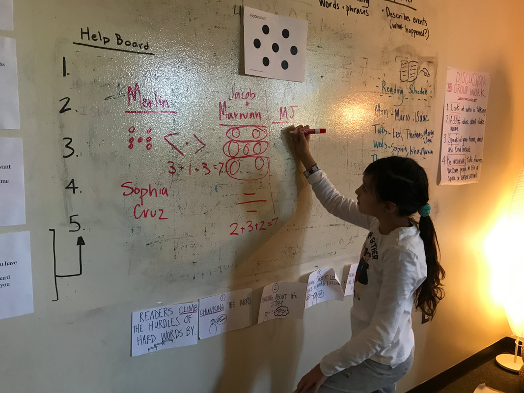
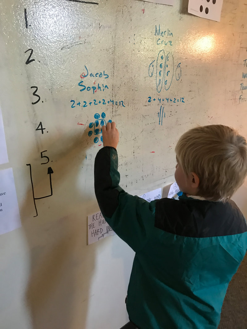
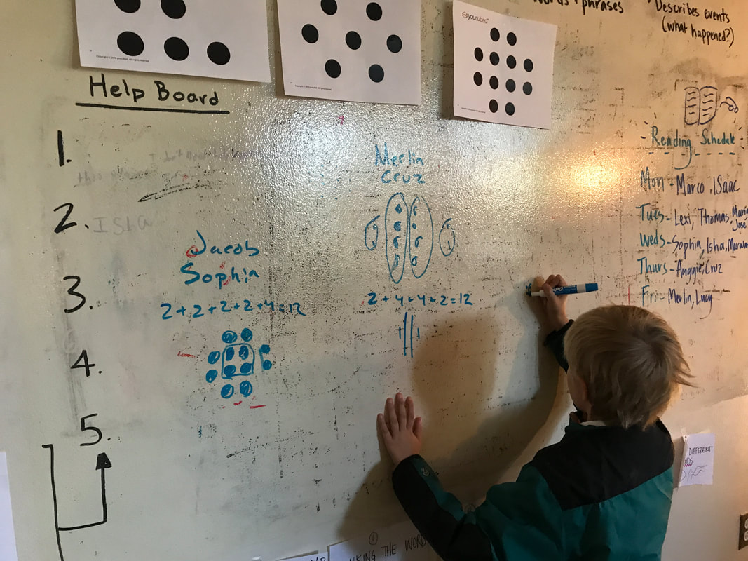
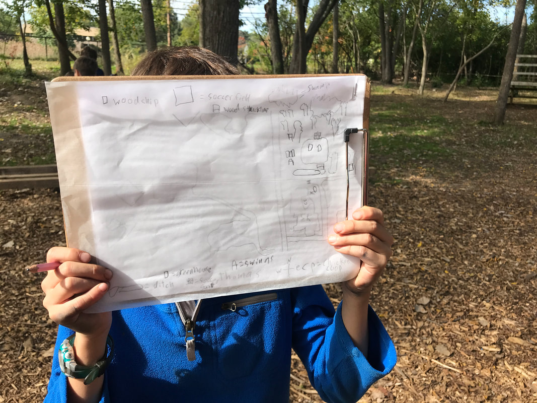
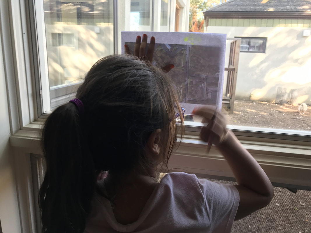
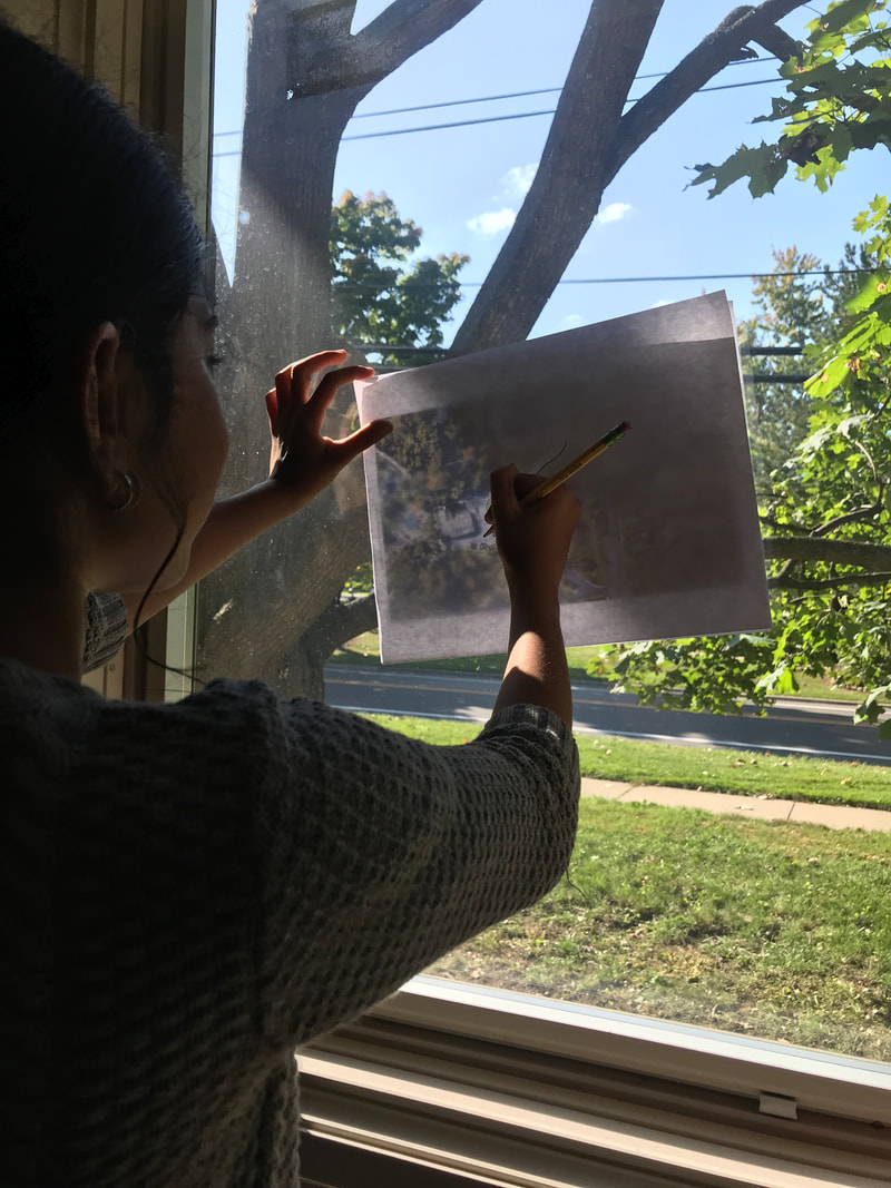
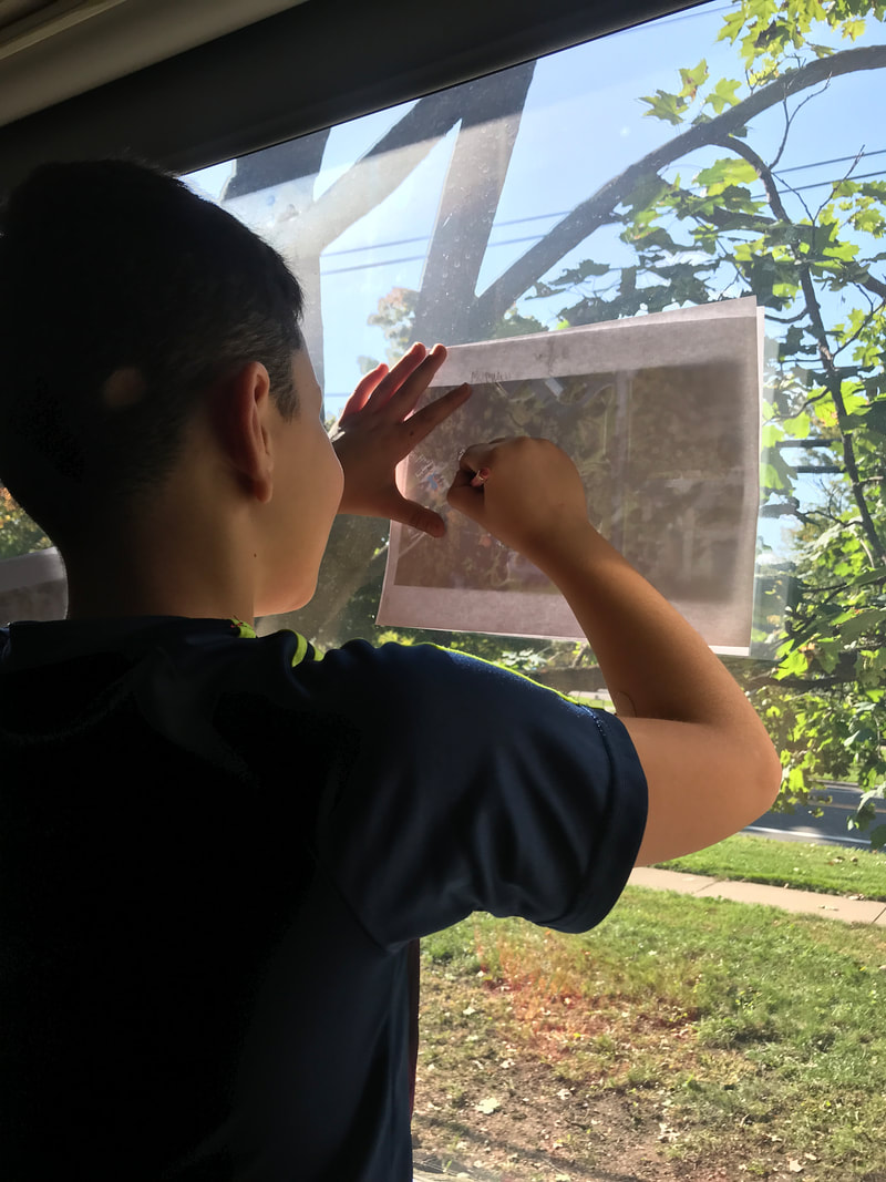
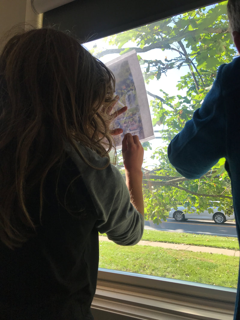
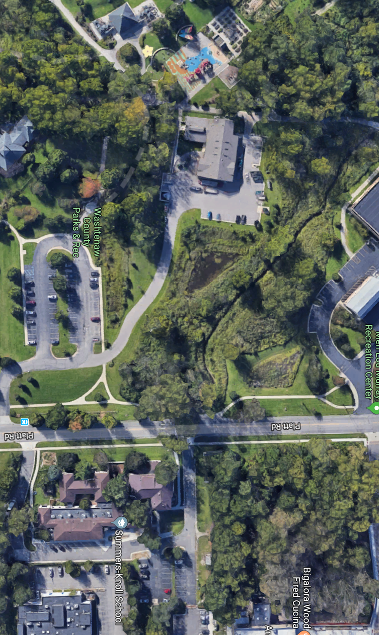
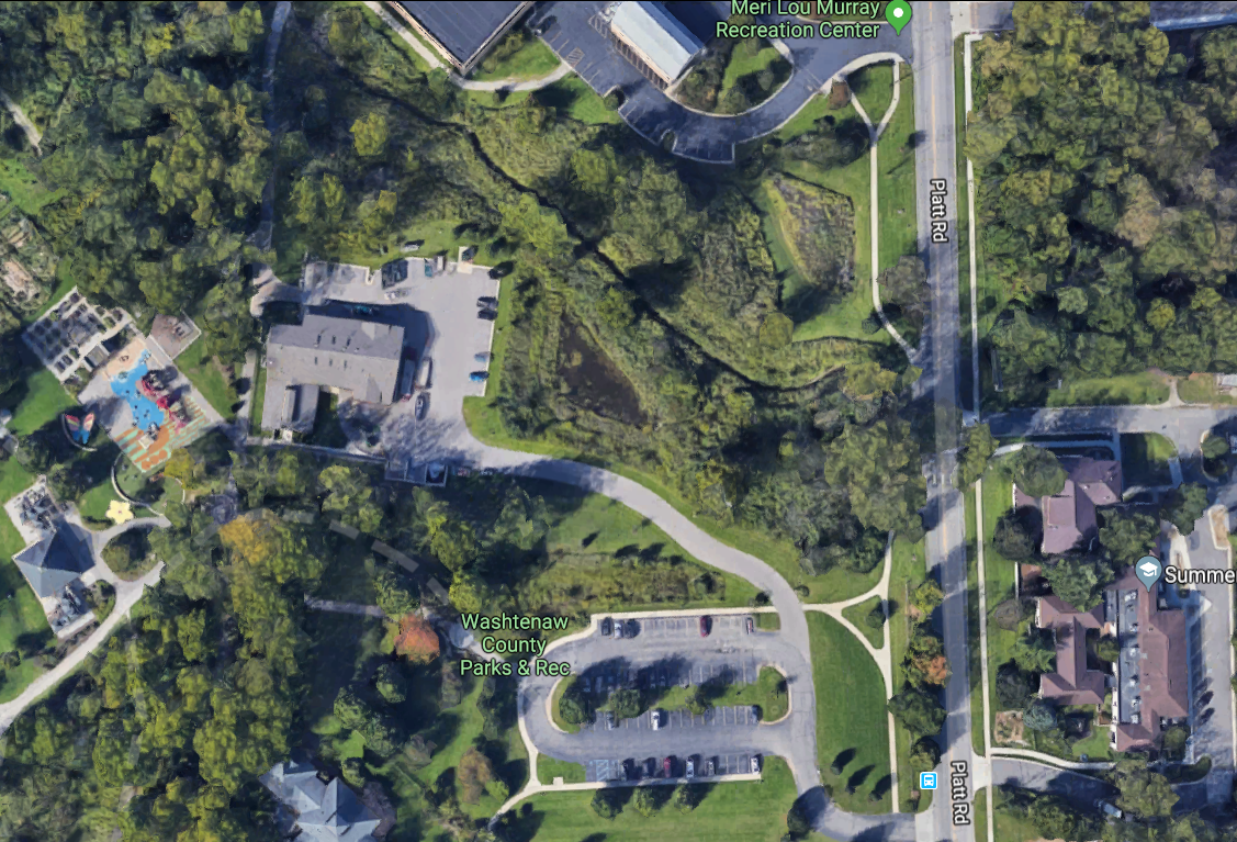
With this working definition, we returned to the mental maps we made last week and compared them to a Google Maps perspective of Summers-Knoll. How were these similar and different? Did we forgot to include certain elements on our maps? Did we show items on our maps that were not seen in the satellite image? How did both reveal the location of our school? Using a traced version of the Google Maps satellite image, we set out on a walk to make a new map that focused on SK as a place. In other words, our intention in this new map was to represent what specific features of our landscape and built environment (on SK property) made this specific location meaningful and unique to us. As we walked the property, students chose to include a variety of elements on their map. Examples include the ditch that students love to run around after school, a tree by the basketball hoops that students love to climb, the wetland area behind the soccer field, and more. We will return to these maps next week as we continue to think about place-making. 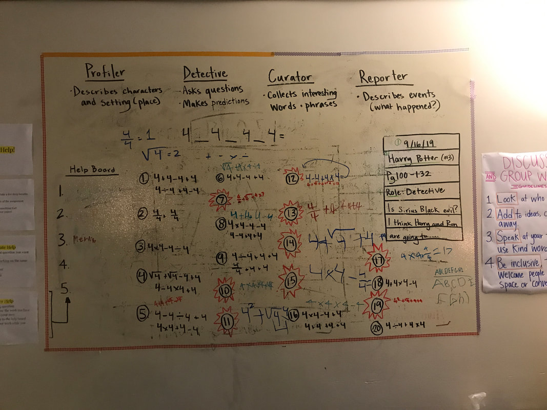 This photo (please, please, please excuse our very messy white board!) shows all of the solutions our math group found to the challenge Four Fours, where you make various equations using four 4s to find answers between 1-20. We began with only using addition, subtraction, multiplication, and division, and when we were stuck, I introduced more options, such as 4 squared, square root of 4, and 4/4. These three options helped us to arrive at every number 1-20!
|
Archives
March 2020
Categories |

 RSS Feed
